








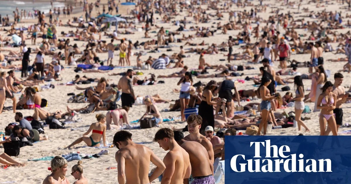
Eastern Australia is currently gripped by a chaotic weather divergence as an unseasonably intense heatwave collides with wintry conditions in the south, marking a volatile start to the spring season.
Record-breaking temperatures have descended upon Sydney and Brisbane, with meteorologists confirming that the first days of September are tracking toward midsummer averages. Sydney has experienced its hottest start to spring since records began at Observatory Hill in 1858. By early Saturday afternoon, temperatures in suburbs like Badgerys Creek surged to 33C, smashing historical September averages by as much as 13 degrees.
Meteorologist Tom Saunders described the spike as a result of a gusty, north-westerly airstream pulling heat directly from the northern interior. “For Sydney, it’s likely to be the hottest day this early in spring on record,” Saunders said, noting that temperatures across the spring season are expected to sit at least three degrees above the long-term baseline.
The blistering heat has prompted urgent warnings from fire authorities. A total fire ban is currently in force for the greater Sydney region, with extreme fire danger ratings issued as dry, gusty winds heighten the risk of ignitions. The concern is continent-wide, with the national council for fire and emergency services identifying heightened fire risks across much of New South Wales, Queensland, Victoria, and the Northern Territory.
While the north and east battle heat, the southern reaches of the continent are facing a starkly different challenge. In the Snowy Mountains of New South Wales, live cameras confirmed snow falling at Thredbo on Saturday morning, with temperatures dropping to -1C. However, climate experts warn that these late-season flakes will offer little relief to the country’s ski fields, which are already suffering from a historic lack of snowpack following an unusually warm winter.
The wild weather is not limited to temperature fluctuations. Severe weather warnings remain in place across the south, with South Australia bracing for damaging wind gusts of up to 110km/h that could threaten infrastructure. Meanwhile, Victoria and Tasmania are under flood watches, with heavy rainfall expected to impact catchments that are already saturated from a wet winter.
This dramatic volatility is unfolding against the backdrop of a “supersized” El Niño weather pattern in the Pacific, which is expected to persist into early 2027. The United Nations has warned that this event has the potential to deliver a “massive blow” to global economies and communities. For Australians, the phenomenon reinforces the Bureau of Meteorology’s warnings of a season defined by heightened heatwaves, prolonged drought, and an elevated bushfire risk. As the country shifts into the warmer months, the extreme start to September has served as a sobering preview of a challenging climate outlook.
Disclaimer: This content is auto-generated for informational purposes only. It has been rewritten and paraphrased from the original source.
Source: Read Original News