









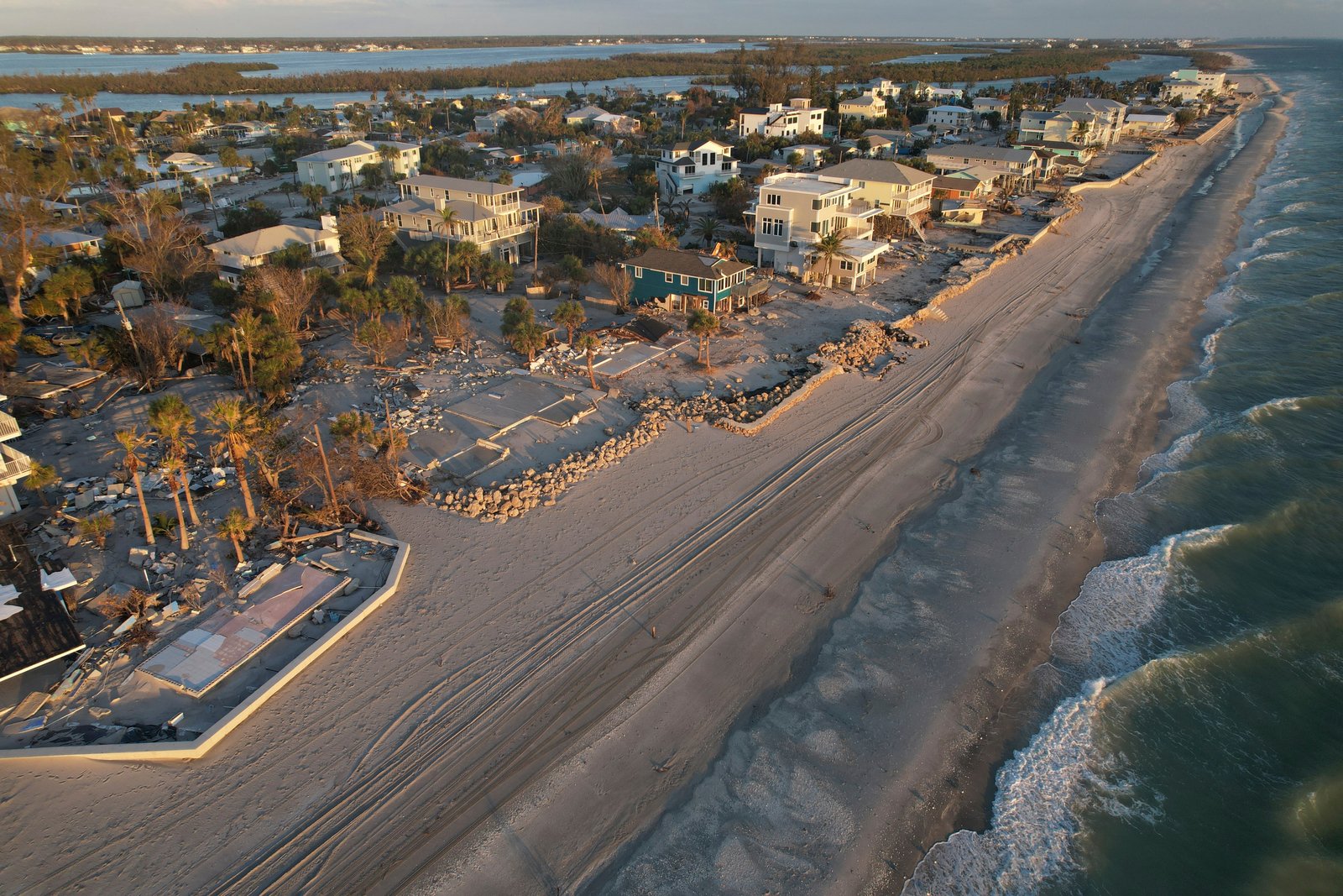
The Atlantic Ocean is currently experiencing a historically quiet hurricane season, with meteorologists describing the environment as “staggering” in its hostility toward storm development. Despite being at what is typically the peak of the season, the National Hurricane Center reports that not a single hurricane has formed this year.
As of Saturday, 2026 has officially set a record for the longest start to a season without a hurricane in the satellite era. While only five weak and brief tropical storms have occurred so far, total storm activity in the Atlantic remains at just 7% of normal levels—a post-1950 record low.
Experts attribute this dramatic suppression to an intense El Niño, the natural and temporary warming of the equatorial Pacific that causes widespread atmospheric disruptions. While warm waters—often the fuel for hurricanes—are present in the Atlantic, the El Niño event is generating a “triple whammy” that prevents storms from intensifying: powerful vertical wind shear, pervasive dry air, and high-pressure systems that push air downward.
“It’s really staggering, just how inhospitable the Atlantic is to anything that could form a tropical cyclone right now,” said Kristen Corbosiero, an atmospheric science professor at the University at Albany. According to experts, wind shear in the primary development zone between Africa and the Caribbean is roughly 45 mph stronger than what a typical tropical cyclone can withstand. “Their heads are cut off before they even have a chance,” said University of Miami hurricane expert Brian McNoldy.
Meteorologists emphasize that even in a subdued season, the public should remain vigilant. History serves as a reminder of the dangers of complacency; in 1992, a late-starting season produced the catastrophic Hurricane Andrew. Furthermore, experts warn that the Gulf of Mexico has not seen the same levels of wind shear as the open Atlantic, meaning the potential for strong late-season storms remains a threat.
While the Atlantic remains unnaturally still, the Pacific is seeing the inverse effect of El Niño. The eastern Pacific is currently experiencing a flurry of activity, with 16 named storms, while the central Pacific has seen 20, including two that impacted Hawaii. In the Pacific, the lack of wind shear and abundance of moisture have created a favorable environment that stands in stark contrast to the stagnant Atlantic.
Looking ahead, meteorologists warn that the quiet conditions may be a temporary reprieve. Kerry Emanuel, a meteorology professor at MIT, noted that while the Atlantic is currently behind the atmosphere in responding to the El Niño cycle, the lingering ocean warmth could set the stage for an unusually busy season once these atmospheric patterns normalize next year. For now, however, experts agree that the current total absence of hurricane activity is a truly remarkable meteorological event.
Disclaimer: This content is auto-generated for informational purposes only.
Source: Read Original News