







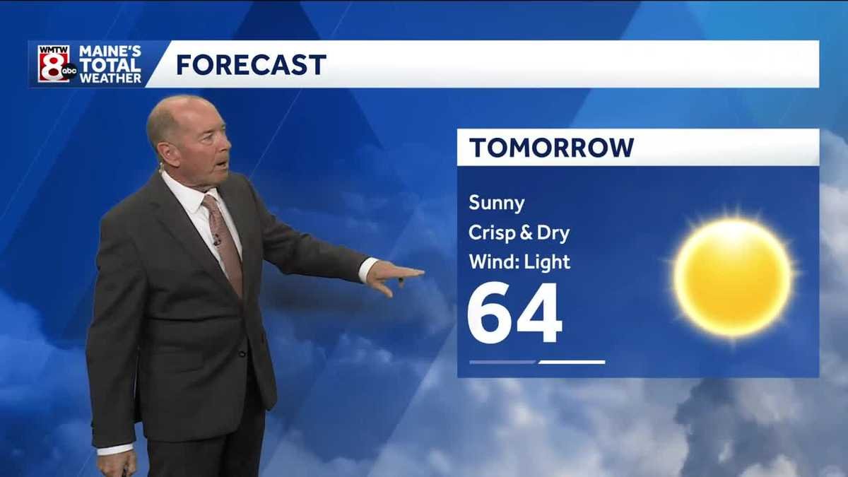
Maine residents should prepare for a weekend of meteorological extremes, as a bright and sunny Saturday gives way to a rainy Sunday, according to the latest forecast from Chief Meteorologist Roger Griswold.
The transition begins tonight as high pressure begins to build across New England, clearing the skies and ushering in a chilly air mass. Temperatures are expected to plummet into the 30s across northern Maine and the high-elevation regions. Residents in colder mountain valleys are advised to prepare for potential frost, while the remainder of the state will see more moderate overnight lows in the lower to mid-40s.
However, the outlook for Saturday is significantly more pleasant. Meteorologists are calling it the “pick of the weekend,” as the high-pressure system settles directly over the region. The state can expect abundant sunshine and light winds, with temperatures reaching comfortable highs in the 60s, making it an ideal day for outdoor activities.
The pleasant conditions will be short-lived, as an area of low pressure is forecast to move across the Northeast on Sunday. Cloud cover will increase, and rain is expected to move into the region by Sunday afternoon, continuing into the evening. Southwestern Maine and New Hampshire appear to be in the crosshairs for the highest accumulation of rainfall.
Rainfall totals remain difficult to predict with precision due to atmospheric uncertainty. While some areas could see up to three-quarters of an inch of precipitation, locations further north may experience significantly less, with totals potentially remaining under two-tenths of an inch.
As the Sunday system moves out, a new high-pressure cell is expected to return for the start of the work week. Monday through Wednesday will feature generally dry and fair weather, though the trend of autumnal cooling will persist. The period will be marked by temperatures that are noticeably cooler than average for late September. Similar to tonight, clear nights early next week will likely result in chilly mornings, with frost once again a concern for sheltered interior valleys.
Looking ahead to the end of next week, the forecast team is tracking a potential coastal system forming near the Mid-Atlantic. Should this system track northward, there is a possibility of increasing cloud cover and renewed rain chances by Thursday. As of now, however, forecasters emphasize that there is significant uncertainty regarding the trajectory of that system.
Residents are encouraged to keep a close watch on local updates as the weekend progresses, especially if planning travel during Sunday’s expected rain. For a more detailed breakdown and visual representation of the incoming weather patterns, viewers can watch the full Maine’s Total Weather video forecast hosted by Chief Meteorologist Roger Griswold.
Disclaimer: This content is auto-generated for informational purposes only.
Source: Read Original News