






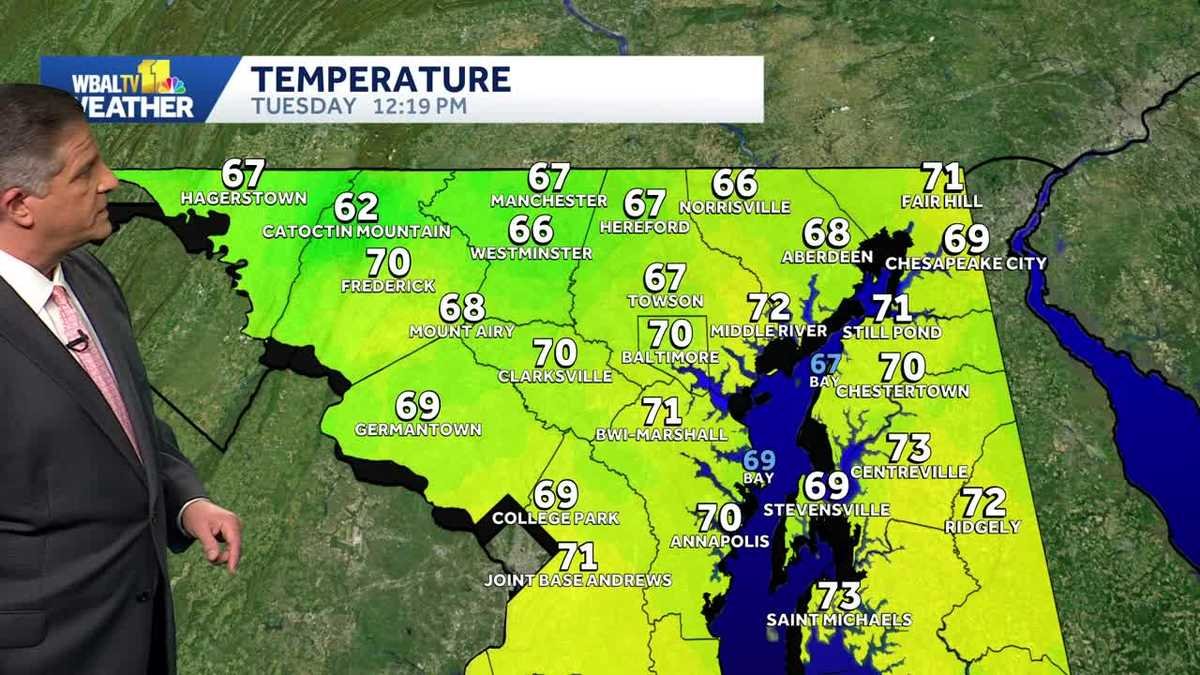
BALTIMORE — After a stretch of crisp, autumnal air, residents across the Baltimore region should prepare for a dramatic shift in the forecast this week. Meteorologists are tracking a significant warming trend that will push temperatures well above seasonal averages, bringing a brief, late-season taste of summer back to Maryland.
While the next few days will remain dry and pleasantly mild, the mercury is set to climb steadily toward the end of the work week. By Thursday and Friday, the region is expected to bask in unseasonably warm conditions, with high temperatures projected to reach into the 80s. This surge in heat will arrive as a welcome, if somewhat jarring, change for those who have already packed away their summer attire.
According to WBAL-TV meteorologist Tony Pann, this mid-week heat spike will be short-lived. The summer-like conditions are expected to linger through Friday, but the atmospheric pattern will shift as the weekend approaches. Residents should keep their umbrellas handy, as the next chance for precipitation is currently tracking toward the region late Friday, potentially persisting into the weekend.
The timing of this incoming moisture may have implications for local sports fans. As the Baltimore Ravens prepare to take the field this Sunday, the current forecast indicates a possibility of scattered showers during the game. While the exact timing and intensity of the rain remain subject to change, fans attending the matchup are advised to keep an eye on updated forecasts as kickoff approaches.
The relief from the heat will arrive as quickly as it departed. Following the weekend rain event, a colder air mass is expected to settle over the Mid-Atlantic, ushering in a significant temperature drop for the start of next week. Unlike this past week, however, the cooling trend is expected to remain largely dry, offering a stretch of crisp, cool days without the threat of inclement weather.
This roller-coaster weather pattern serves as a reminder of the volatility often seen during the transition between seasons. As the region pivots from summer-like heat back into a more traditional fall chill, officials urge residents to stay informed through daily updates. Whether you are planning outdoor activities for the high-80s of Thursday or preparing for a potential damp Sunday at the stadium, the week ahead promises to be anything but stagnant.
For those sensitive to temperature fluctuations, the rapid change from 80-degree afternoons to the cooler conditions forecasted for next week suggests a need for versatile, layered clothing. As always, local weather experts will continue to monitor the timing of the Friday cold front to provide more precise details on when the rain will arrive and how long the cooling trend will hold.
Disclaimer: This content is auto-generated for informational purposes only.
Source: Read Original News