In 1746, tall ships sailed up the Thames, only two bridges crossed the river, London was a global centre for trade in the likes of coal, wood, wool, cloth and meat and its population numbered about 650,000.
During this year, too, French-born Huguenot surveyor, engraver and cartographer John Rocque (1704–62) created a pioneering mapping masterpiece, An Exact Survey of the Cities of London and Westminster, and borough of Southwark — the first detailed and accurate bird’s-eye view of the capital ever seen.

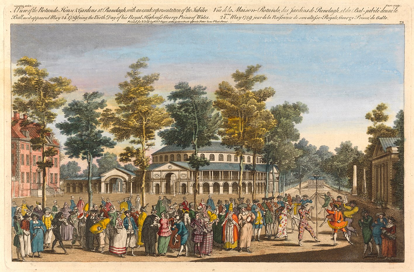
‘A View of the Rotunda and Gardens at Ranelagh’, 1959, by Nathaniel Parr.
(Image credit: London in the 18th century)

The South prospect of the Tower of London, 1952 .
(Image credit: London in the 18th century)
Two centuries later, the Daily Mail reproduced Rocque’s map, alongside words by Wallace Crawford Snowden, in a book entitled London 200 years ago. The recently published London in the 18th Century is a revised and updated version of that work, with Rocque’s map once again reproduced in glorious detail over numerous pages with historical explanations.
Travel back in time to a period when myriad timber yards were on the south side of the Thames opposite the Strand, when Buckingham House, built in 1703 for John Sheffield, Duke of Buckingham and Normanby, wasn’t the U-shaped building that would become Buckingham Palace and Bermondsey was open countryside.

London city panorama, 1751.
(Image credit: London in the 18th century)

A view of London from about the year 1560.
(Image credit: London in the 18th century)
‘London in the 18th Century’ is available from Atlantic Publishing (£25)