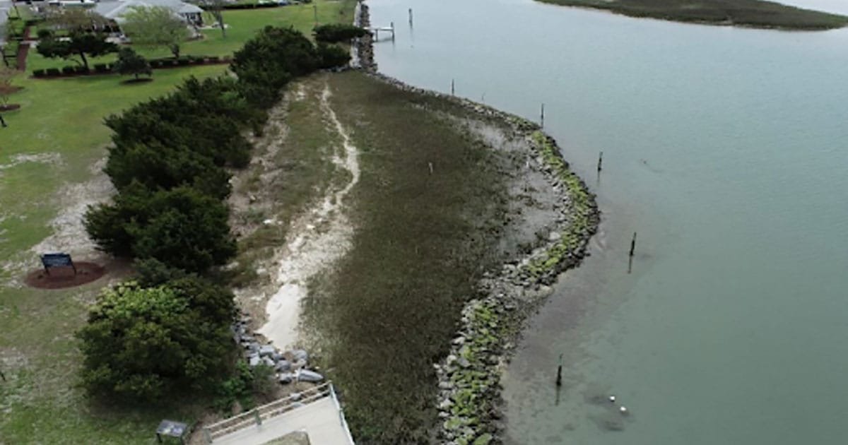
Coastal salt marshes provide critical ecosystem services, storm protection, and vital habitat for diverse and economically important species. As these wetlands face increasing threats from sea-level rise, managers rely on coastal marsh models to predict where marshes might migrate or drown. However, a significant gap remains between model outputs and the specific information practitioners need to make some of their on-the-ground decisions.
A new study led by researchers from the US Geological Survey (USGS), NCCOS, several state Sea Grant programs, and not-for-profit organizations analyzed information collected from marsh model users across the US East Coast and Gulf of America. The team identified three primary themes where practitioners utilize model outputs:
- Marsh restoration, which includes identifying sites for hydrologic modifications or nature-based solutions.
- Planning with uncertainty, which includes prioritizing land acquisition and resource allocation for potential marsh migration.
- Species conservation by protecting habitat for marsh-reliant species like the Black Rail.
The study highlights that while current models are powerful, practitioners still face “scale mismatches” between model outputs and decision-making needs. Many decision makers require high-resolution, parcel-scale data for local planning and more accessible descriptions of uncertainty to inform decision-making. Additionally, the research emphasizes the need to incorporate human dimensions data, such as the impact of dikes and culverts, to provide a more comprehensive view of marsh resilience.
To bridge these gaps, the authors recommend sustained, early engagement between modelers and users. By co-producing these tools, the scientific community can ensure that marsh models are not just technically advanced, but are also tailored to support the complex decisions being made for long- and short-term resilience of our nation’s coastal ecosystems.
Read the full study published in Wetlands.
This research was funded in part by the NOAA’s Effects of Sea Level Rise Program, Gulf of America Alliance (previously the Gulf of Mexico Alliance), and the USGS Southeast Climate Adaptation Science Center.
The research team’s work is authorized by the NOAA Authorization Act of 1992, Pub. L. 102-567 (Oct. 29, 1992); sec. 201(c), directs appropriation for the NCCOS Competitive Research Program to augment and integrate existing NOAA programs, with a specific focus on improving predictions of coastal hazards and protecting human life and property.