









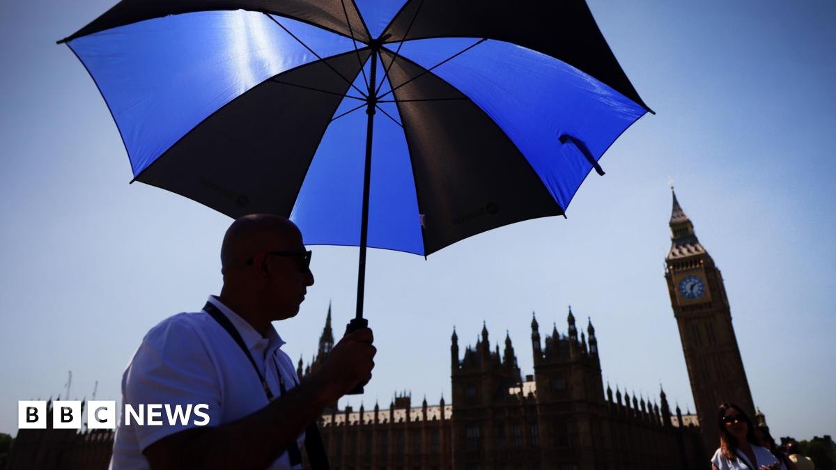
Monday’s sweltering conditions are set to be replicated on Tuesday, with forecasters warning slightly warmer air at lower levels could send the mercury even higher.
The highest temperatures are expected in south-east England while other areas in England and Wales will climb to the high 20s.
Fewer places in the north of England will see extreme temperatures compared to Monday.
It will be dry and sunny for most but there will be a bit more moisture in the atmosphere.
There is a chance of thunderstorms across southern England, East Anglia and possibly around Yorkshire.
On Monday, Wales also experienced its hottest May day, reaching 32.2C at Hawarden Airport in Flintshire.
This week’s weather means more than half of the monthly record highs – seven out of 12 – have been set since 2003, according to the Met Office.
These exceptionally high temperatures have been caused by “the influence of warmth building under an area of high pressure near the UK”, Met Office chief operational meteorologist Dan Suri said.
The average temperature for the end of May is 14-20C.
On Friday, the UK Health Security Agency issued its first amber-heat health alert, external of 2026, covering much of England, including the West Midlands, East Midlands, East of England, South East and London.
The North East, North West, South West, Yorkshire and Humber regions are under a yellow alert. Both alerts will remain in place until 17:00 BST Wednesday.