







Fugro Maps Kiribati’s Line Islands to Bolster Climate Resilience
KIRIBATI — In a critical move to safeguard its future against the accelerating threats of climate change, the Government of Kiribati has completed a comprehensive topographical and coastal mapping survey of the Line Islands. Led by the Ministry of Culture and Internal Affairs (MCIA), the initiative was carried out as part of the Kiribati Outer Islands Resilience and Adaptation Project (KOIRAP), a program supported by the World Bank.
As a nation on the absolute frontline of rising sea levels, Kiribati faces existential challenges related to flood exposure and environmental degradation. By partnering with Fugro, a global leader in Geo-data, the government aims to establish a high-resolution foundation of baseline data to inform future infrastructure development and emergency planning.
Precision Technology for a Changing Landscape
The project involved the deployment of Fugro’s advanced RAMMS® (Remote Airborne Multi-sensor Mapping System) airborne LiDAR and imaging technology. This state-of-the-art equipment allowed for the collection of high-resolution data across the remote atolls of Kiritimati, Tabuaeran, and Teraina.
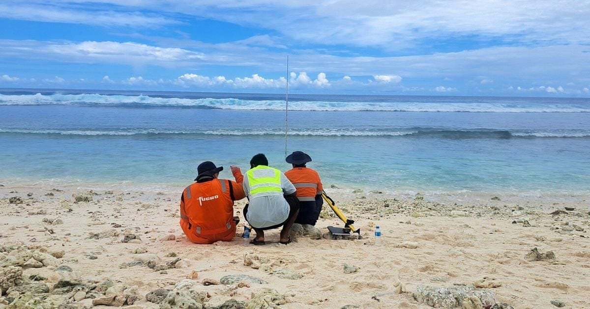
To ensure the precision required for long-term climate modeling, the aerial survey was bolstered by rigorous ground-based verification. This included the installation of tide gauges, the establishment of permanent survey control points, and extensive Global Navigation Satellite System (GNSS) observations. These efforts ensure that the resulting dataset is not only accurate today but serves as a reliable benchmark for decades to come.
Informed Decision-Making
For the Government of Kiribati, this data is more than just a map; it is a vital tool for economic and social planning. Mr. Manikaoti Timeon, Project Manager of KOIRAP, emphasized the strategic importance of the data for the nation’s growth.
"With the Government of Kiribati’s long-term aim to develop Kiritimati as a secondary economic hub to South Tarawa, we must have the necessary baseline data to ensure that our development takes adequate account of natural hazards and climate change, especially sea-level rise," Timeon said. "The high accuracy of the LiDAR dataset collected by Fugro enables this, and will allow us to carry out a robust assessment to ensure resilience and adaptation are adequately accounted for."
Building Local Capacity
Beyond the immediate technical output, the project prioritized community engagement and knowledge transfer. Fugro worked in close coordination with the MCIA and local stakeholders throughout the survey, integrating local personnel into field activities. This collaboration provided a platform for knowledge sharing, helping to strengthen the technical capability of the local workforce.
Nina Levy, Fugro Service Line Manager for Geophysics & Hydrography in the Pacific, noted the gravity of the mission. "Kiribati is on the frontline of climate change, where accurate Geo-data is essential for informed decisions about coastal resilience and future development," Levy said. "We are proud to support the Government of Kiribati with the high-quality data needed to better understand its coastal environment and plan with confidence."
As the data is processed and integrated into the national planning framework, it will serve as the trusted foundation for government agencies and communities to assess climate-related risks, design coastal defense strategies, and navigate the complex environmental challenges facing the Pacific nation.