







India’s Urban Evolution: How Digital Twins are Transforming Our Cities
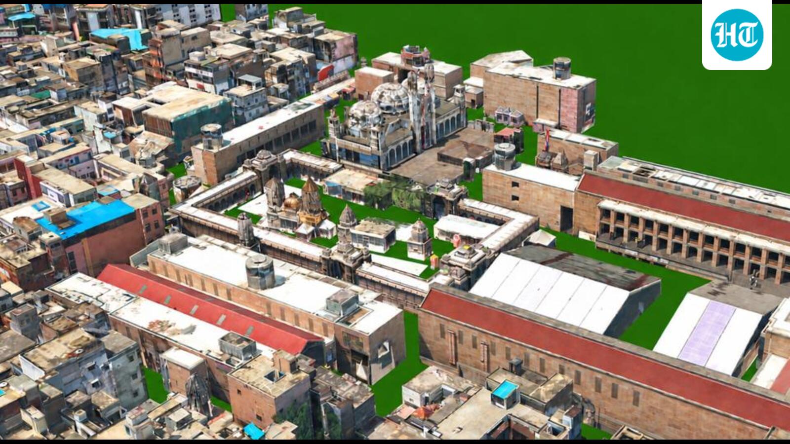
Varanasi, the city of eternal ghats and winding, ancient alleys, is undergoing a profound transformation. Beyond the visible landscape of temples and bustling markets, a secondary, invisible city has emerged: a “digital twin.” This 160-square-kilometer virtual replica, constructed using sophisticated LiDAR, aerial drone imagery, and 360-degree street-level scans, is far more than a high-tech map. It is a dynamic, data-rich model that allows city planners to simulate real-world conditions, track infrastructure changes, and predict urban challenges with unprecedented precision.
Beyond the Map: A Tool for Survival
For municipal authorities in Varanasi, this technology is already paying dividends. Santosh Tripathy, a GIS project manager for the city, explains that the digital twin has become an essential instrument for disaster management. By overlaying hydrological data onto the 3D model, officials can identify potential flood zones and pinpoint specific residential structures at risk of inundation. This allows for proactive resource deployment before the Ganga’s water levels become critical.
The utility extends to urban planning as well. When the Public Works Department considers road widening projects, the digital twin calculates the precise spatial impact—demolishing the need for guesswork. Moreover, by comparing current 3D data against archived municipal records, authorities are discovering discrepancies in property use. Buildings that were once marked as residential but now operate as commercial hotels can now be accurately assessed for taxes, potentially boosting municipal revenue by as much as 50 percent.
A Growing National Movement
Varanasi is leading a broader trend. Across India, major urban centers including Mumbai, Pune, Kochi, and Kanpur are developing their own digital twins. In Mumbai, the redevelopment of Dharavi has utilized this technology to create a spatial baseline for what remains one of the world’s most complex human habitats. As Genesys International chairman Sajid Malik notes, the digital twin acts as an “evidentiary baseline,” providing transparency in a notoriously difficult environment by documenting exactly what stands where and who occupies it.
This shift aligns with the National Geospatial Policy of 2022, which aspires to establish a National Digital Twin for major urban centers by 2035.
Information vs. Governance
While the technical achievement is impressive, experts warn against confusing high-resolution data with effective governance. Vivek Agarwal of the Tony Blair Institute argues that while digital twins provide an “information revolution,” they do not automatically solve the underlying structural issues of Indian urban management.
“Digital twins show officials where a city is lying to itself,” Agarwal notes, referring to the frequent disconnect between official master plans and the messy reality of urban expansion. However, he cautions that technology is not a substitute for political will or institutional reform. Bengaluru’s earlier attempt at digital property mapping, which failed to yield significant administrative change, serves as a sobering reminder that information alone cannot fix broken institutions.
Global Lessons and Future Hurdles
To succeed, India’s cities could look to global models. Singapore’s “Virtual Singapore” allows planners to test the impact of policies on traffic and population before implementation, while Helsinki engages the public by allowing residents to experience future developments in the virtual space.
India’s path forward, however, is complicated by fragmented governance. Anup Jindal of RMSI emphasizes that different city departments currently operate with conflicting datasets. For these models to become core infrastructure—as vital as water or electricity—cities must mandate shared standards and create centralized agencies with the power to manage these digital assets.
Ultimately, the digital twin is a mirror. It forces cities to confront the reality of their infrastructure, from encroached plots to flood-prone lanes. While technology has finally removed the excuse of ignorance—the persistent plea that “nobody knew what was happening”—the true test for India will be using this clarity to build more just, resilient, and responsive urban futures. As Jindal aptly puts it, the city of the future is impossible to manage without this digital foundation.
Disclaimer: This content is auto-generated for informational purposes only.
Source: Read Original News