








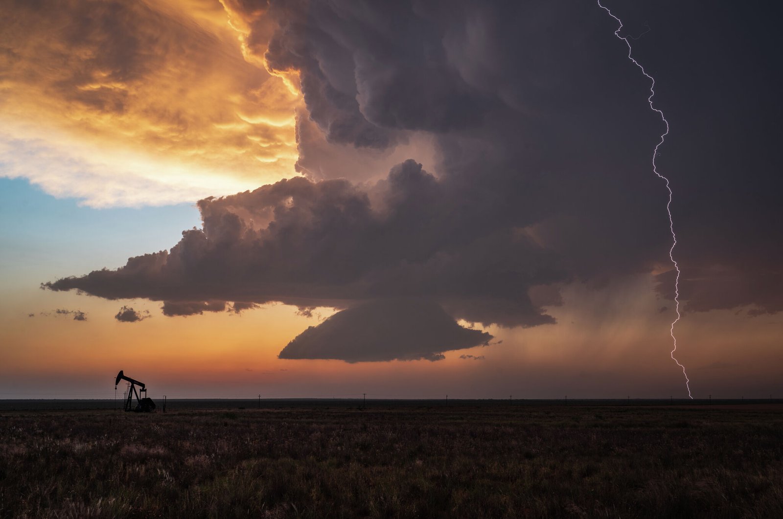
After weeks of oppressive, unseasonable heat that has gripped the Lone Star State, a long-awaited shift in the atmosphere is finally materializing. A persistent heat dome, which has acted as a blockade against cooler northern air, is beginning to fracture, allowing a surge of autumn-like weather to penetrate parts of Texas. While the change won’t signal an immediate end to the summer-like conditions for all, it marks a significant turning point in the meteorological calendar.
The Breakdown of the Heat Dome
For the past two weeks, Texans have looked to the north with anticipation, only to see potential cold fronts stalled or repelled by a stubborn high-pressure system. According to the National Weather Service (NWS) office in Dallas-Fort Worth, the gridlock is finally loosening. Meteorologists report that a pair of shortwaves moving from the Central Plains will facilitate the collapse of this high-pressure ridge, paving the way for a cold front to dip south of the Oklahoma border.
The most dramatic shift will occur in the Texas Panhandle. Residents in that region, who have been enduring afternoon temperatures soaring into the 90s, can expect a drastic temperature plummet. Forecasts suggest that by Tuesday, daytime highs will struggle to reach the mid-70s—a nearly 20-degree drop compared to the conditions seen on Friday.
Severe Weather Risks and Potential Storms
The arrival of this cooler air mass is not merely a peaceful transition; it comes with the volatility often associated with seasonal shifts. The NWS Amarillo office has issued warnings for the Panhandle, highlighting a risk for severe weather as the front moves through. Residents are being cautioned against potential ping-pong-sized hail and wind gusts reaching speeds of up to 60 mph.
While the tornado risk remains low, the instability in the atmosphere is expected to bring persistent rain. Forecasts indicate a high probability of thunderstorms—between 50% and 70%—lingering over Panhandle communities through at least next Thursday. For these northern reaches, the weather will turn both cooler and significantly wetter.
A Limited Respite for North and Central Texas
While the Panhandle prepares for a clear taste of fall, the outlook for North, Central, and South Central Texas—including the Dallas-Fort Worth and San Antonio metro areas—is less definitive. The “cooling” experienced in these regions will be largely subtle, driven more by cloud cover than a massive influx of arctic air.
For areas further south, the break from triple-digit temperatures will be modest, with highs expected to settle in the mid-90s. While this is an improvement, it remains well above the seasonal norm for late September. There is a small, 20% chance of showers reaching the Dallas-Fort Worth area by early next week, potentially tracking down to San Antonio by Tuesday night.
Tech Sector Integration: Tracking Weather Data with AI
In an era where extreme weather events are becoming more frequent, the technology used to track these shifts is evolving rapidly. Big tech firms are increasingly integrating advanced AI models into their weather-tracking services. For instance, Google’s search engine and the Google News feed now utilize complex machine-learning algorithms to aggregate real-time data from the National Weather Service, providing users with hyper-localized updates and push notifications during severe weather events.
AI-driven forecasting models, such as Google’s “GraphCast,” are being utilized by research meteorologists to predict front movements with greater precision. These systems analyze vast datasets to identify patterns that might indicate when a heat dome will collapse or how a storm front might deviate from initial trajectories. As these tools continue to update, citizens can expect more accurate, data-backed insights on their mobile devices, helping them navigate the lingering, unpredictable heat of a Texas autumn.
Disclaimer: This content is auto-generated for informational purposes only.
Source: Read Original News