








Tropical forests have long appeared to the human eye—and to traditional satellite imagery—as a uniform, monolithic canopy of green. However, a groundbreaking study published in Nature Communications reveals that these ecosystems possess complex, hidden structural and chemical diversities that dictate the survival and vulnerability of the avian species living within them.
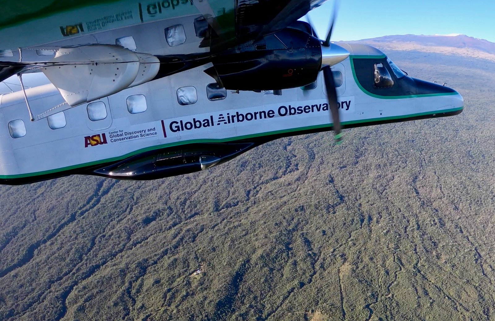
By deploying aircraft-mounted sensors across Peru, an international team of researchers has moved beyond basic forest-cover mapping to create a functional map of the Amazonian canopy. This new approach allows scientists to identify the specific chemical and structural signatures of different forest types, providing a precise tool to gauge ecosystem health and target conservation efforts where they are most critically needed.
“By combining advanced airborne imaging spectroscopy with ecological data, we aren’t just mapping where the trees are; we are mapping the diversity and composition of the canopy itself and how the ecosystem functions,” said Greg Asner, director of the ASU Center for Global Discovery and Conservation at the Julie Ann Wrigley Global Futures Laboratory and senior author of the study.
The research process involved using spectrometers to measure the wavelengths of light reflected by forest foliage. This data revealed seven key features, including plant compounds, water content, and leaf nutrient levels, which allowed the team to classify Peru’s vast forests into six distinct functional types. The researchers then overlaid these classifications with data on 1,331 forest-dependent bird species, comparing the forest types to each species’ range, body size, reproductive patterns, and conservation status.
The results highlight that not all forest-dwelling birds respond to environmental change in the same way. The study found that tree composition acts as a major filter, influencing the life-history strategies and vulnerabilities of bird populations. For instance, birds inhabiting northern Amazonian swamp forests were found to be larger-bodied and longer-lived. While these traits characterize an impressive avian community, they also indicate slower reproductive rates, which can render these species less resilient to rapid environmental shifts.
In contrast, birds in montane Andean forests—often understory specialists—showed a higher sensitivity to humidity, temperature fluctuations, and forest fragmentation. Meanwhile, species in the lower Andean regions demonstrated higher exposure to human-induced threats, while birds in floodplain forests appeared better equipped to handle urbanization.
These nuances are critical for conservation strategy. Current conservation models often prioritize land based on total species richness or generic forest cover. Asner and his colleagues warn that such an approach can be misleading; it may lead to the over-protection of resilient habitats like floodplain forests while inadvertently neglecting the “silent loss” of more vulnerable species in other, structurally distinct areas.
“This approach provides a scalable way to identify distinct conservation risk areas across previously undocumented forest types, providing explanatory power far beyond traditional forest cover maps,” Asner said.
As deforestation, climate change, and land-use pressures continue to reshape the tropics, this high-tech mapping provides a vital new diagnostic tool for land managers. By integrating habitat functionality with specific species traits, the researchers aim to move conservation away from simple species counting and toward the protection of entire ecosystem processes.
First author George Olah, a fellow at The Australian National University, emphasized that this technological leap is essential for the future of biodiversity. “By linking newer high-tech maps of the chemical and functional traits of the forest canopy to avian ecology, we demonstrated that the composition of the trees exerts a big influence on the life-history strategies and vulnerabilities of the bird communities living there,” Olah said.
As satellite-based imaging spectroscopy becomes more accessible, this method holds the potential to revolutionize landscape-scale planning across the entire Amazon basin, helping to ensure that forest protection is as diverse and complex as the life it sustains.
Disclaimer: This content is auto-generated for informational purposes only.
Source: Read Original News