









JACKSONVILLE, Fla. – Beachgoers, boaters, and coastal residents are being urged to exercise extreme caution this weekend as a volatile weather system settles over the region. Authorities have issued a series of warnings as rough surf, high winds, and potential flooding threaten the Atlantic coastline.
The National Weather Service has implemented a gale warning for all Atlantic coastal waters, which took effect mid-morning today and is expected to remain in force through Monday. Marine interests are advised to prepare for hazardous sea conditions, as gusts are projected to reach 30 to 40 mph.
For those planning to head to the beach, the outlook is equally concerning. A high surf advisory has been issued, warning of dangerous rip currents and powerful waves that could result in minor to moderate beach erosion, particularly around high tide. Lifeguards and emergency officials are strongly advising the public to stay out of the water, as the current conditions pose a significant threat to even the most experienced swimmers.
The turbulent conditions are not limited to the oceanfront. Minor tidal flooding is possible along the coast, the Intracoastal Waterway, and the St. Johns River basin as the incoming winds push water into inland areas. Residents in low-lying coastal areas should monitor their properties for rising water levels throughout the weekend.
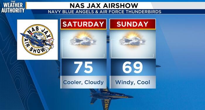
These hazards are being driven by a cold front sweeping through the region today. While the front brings the promise of cooler, drier air, it also delivers the gusty north to northeast winds that have whipped the Atlantic into a frenzy. Unlike a typical warm-weather front, temperatures are expected to drop steadily throughout the day. In fact, forecasters indicate that Saturday’s high temperature likely occurred during the morning hours, with a chilling trend continuing through Monday night.
The arrival of the cold front will also bring the possibility of isolated showers, adding to the gloomy and hazardous outlook for the weekend. While the most intense wind and surf conditions are currently slated to persist through Monday, meteorologists warn that coastal and marine hazards could linger well into the midweek period.
Local authorities are reminding the public that safety remains the top priority. “Respect the ocean,” a spokesperson noted, urging visitors to heed the warnings of local beach patrols and avoid areas where red flags are posted. With temperatures staying below average for the next several days and water conditions remaining treacherous, experts suggest that beach activities should be delayed until the system fully exits the region.
Stay tuned to local weather updates as the situation evolves, and ensure all marine vessels are properly secured during the duration of the gale warning.
Disclaimer: This content is auto-generated for informational purposes only.
Source: Read Original News