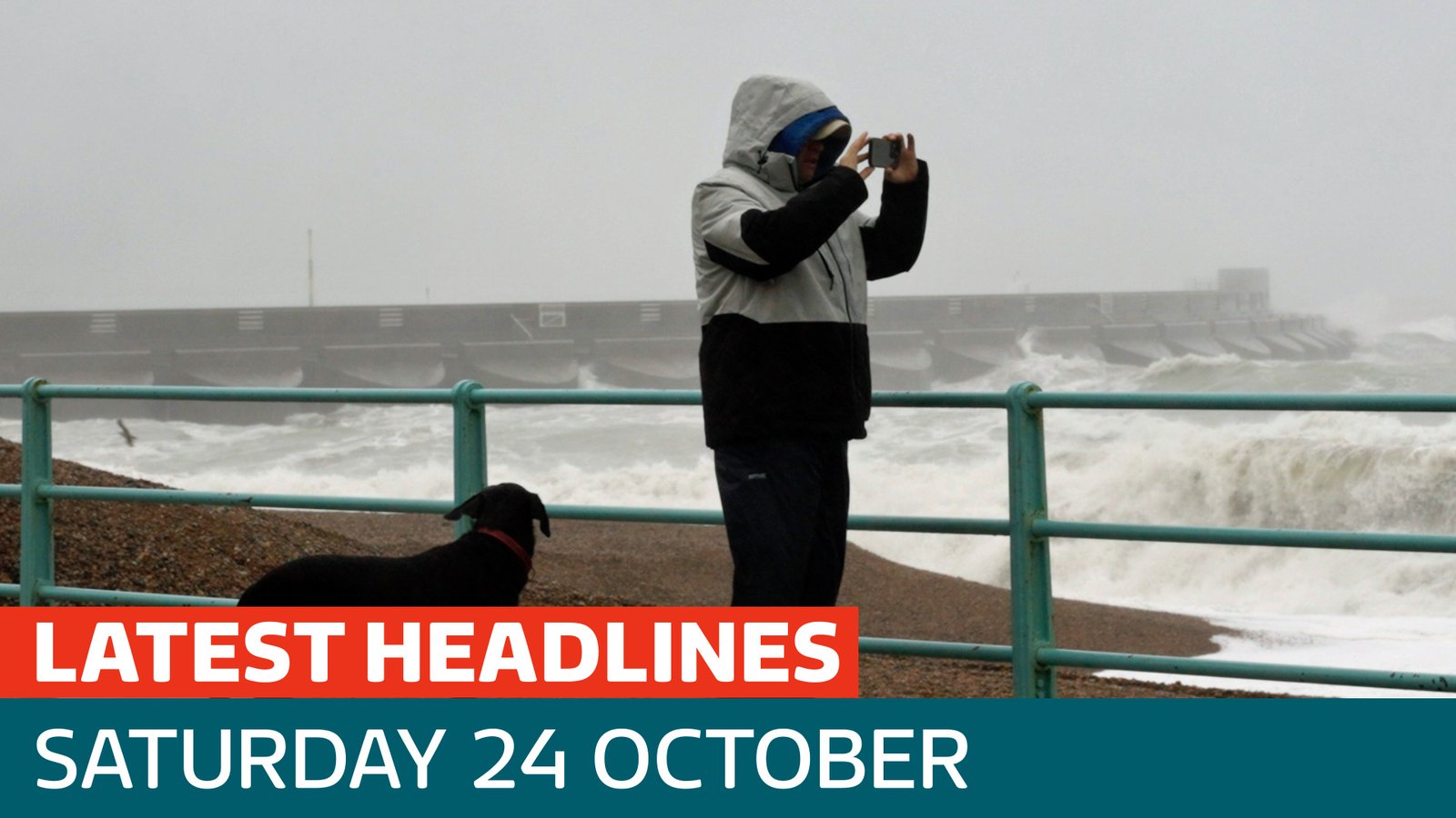









A massive weather system is set to sweep across most of Australia this weekend, threatening to exacerbate a severe flooding crisis that has already left parts of Queensland in a state of emergency.
The Bureau of Meteorology (BoM) has issued urgent warnings for severe thunderstorms, heavy rain, and potential flash flooding across South Australia, Victoria, New South Wales, and Tasmania. This comes as Queensland struggles to recover from a deluge that saw some regions record 450mm of rain in just seven days—a volume meteorologists described as more typical of the peak of summer than mid-October.
Senior meteorologist David Crock warned that the relentless wet weather is far from over. “There is plenty of rain across the south-east, as well as showers and storms across much of Queensland, following what has already been an incredibly wet week,” Crock said.
On Saturday morning, nine flood warnings remained in effect for southern Queensland. The region has endured an exhausting week of disruption, including the closure of multiple schools and hundreds of emergency callouts. Swift-water rescue teams were forced into action on Thursday, including a dramatic operation in Caboolture where emergency services used a raft to retrieve an elderly man clinging to the roof of his vehicle as floodwaters rose around him.
The extreme conditions are now shifting south. On Saturday, severe storm cells were forecast to track through central and eastern Queensland—impacting Rockhampton, Gladstone, Bundaberg, and the Sunshine Coast hinterlands—before moving into Melbourne’s eastern suburbs and central South Australia. Tasmania is expected to bear the brunt of heavy rainfall overnight into Sunday morning.
The situation is expected to intensify on Sunday as a major cold front sweeps across New South Wales. The BoM anticipates that this front will trigger severe thunderstorms across wide swathes of inland eastern Australia, with Sydney and Brisbane also in the crosshairs.
Meteorologists are highlighting the unusual persistence of this weather pattern, which has funneled massive amounts of moisture into the country for over a week. For many locations in Queensland, the recent totals have already doubled their average monthly rainfall for October.
“It’s been notable how persistent this weather pattern has been, how much moisture has pumped in, and how those rainfall totals have accumulated,” Crock noted.
Residents in the affected states are being urged to closely monitor the Bureau of Meteorology’s website for live updates and emergency warnings. Authorities are warning motorists to avoid driving through floodwaters, reminding the public that even shallow, moving water can be deadly. As the cold front advances, emergency services remain on high alert for the potential of further flash flooding and structural damage across the eastern states.
Disclaimer: This content is auto-generated for informational purposes only.
Source: Read Original News