









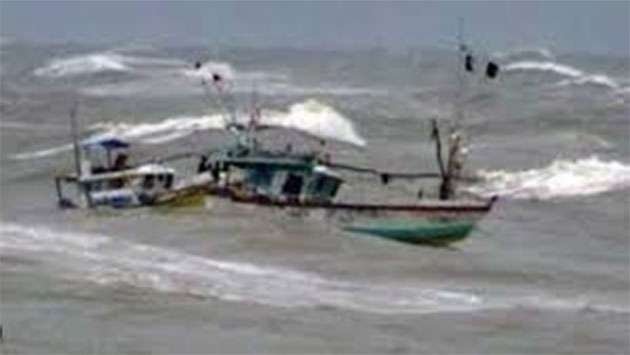
COLOMBO – The Department of Meteorology has issued an urgent red alert for strong winds and rough seas as a deep depression in the Southeast Bay of Bengal has officially intensified into Cyclone Murasu. Authorities are calling for immediate action from naval and fishing communities, strictly advising them to avoid deep-sea operations until further notice.
As of 11:30 a.m. on November 1, 2026, Cyclone Murasu was centered at latitude 12.1°N and longitude 85.3°E. Meteorological experts report that the system is currently gathering strength and is projected to track west-northwestwards. The storm is expected to undergo rapid intensification, evolving into a Severe Cyclonic Storm over the West-Central Bay of Bengal by the morning of November 2.
The forecast path indicates that the cyclone will continue its northwestward trajectory before making landfall along the Andhra Pradesh coast in India. Meteorologists anticipate the system will strike the coastline as a Severe Cyclonic Storm sometime between midnight on November 2 and the early hours of November 3, 2026.
The Department of Meteorology has outlined specific danger zones, cautioning vessels to steer clear of deep-sea areas bounded by 10°N–15°N and 80°E–90°E. Winds within these regions are predicted to reach speeds of 70 to 80 kmph at times, frequently accompanied by intense thundershowers that will significantly reduce visibility and heighten risks for maritime navigation. Furthermore, coastal areas stretching from Mannar to Trincomalee, via Kankesanthurai, are expected to experience extremely rough sea conditions, posing a direct threat to small crafts and coastal infrastructure.
In an official statement, the Department emphasized the gravity of the situation, urging all fishing and naval personnel currently operating in the affected waters to return to shore or seek shelter in safer locations immediately. “The safety of our maritime community is the priority,” the advisory stated, noting that the “red warning” remains in effect until the system has passed.
Disaster management teams have been placed on high alert as the region prepares for the potential impact of heavy rainfall and high-velocity winds. Authorities are also monitoring the storm’s progression to assess potential impacts on coastal communities, advising the public to remain updated through official bulletins and to follow all instructions issued by local maritime and civil defense authorities.
As Cyclone Murasu continues its path toward the Indian coastline, the Department of Meteorology has assured the public that it will continue to provide real-time monitoring and updates. Citizens are urged not to engage in speculative information sharing and to rely solely on the Department’s official notifications as the weather system evolves.
Disclaimer: This content is auto-generated for informational purposes only.
Source: Read Original News