










High-Risk Rip Currents Prompt Beach Safety Warning; Dense Fog Expected to Close Weekend
Beachgoers across Southeast Georgia and Northeast Florida are being urged to exercise extreme caution this weekend as dangerous rip currents create a high-risk environment along the coastline. While the weather may appear inviting, meteorologists are warning that the surf is deceptive and poses a significant threat to even the most experienced swimmers.
Officials are strongly advising the public to prioritize safety by staying out of the water. “You may want to enjoy the ocean from the sand,” authorities stated, emphasizing that the current conditions are life-threatening. Rip currents are powerful channels of water that can pull even the strongest swimmers away from the shore, and the current forecast suggests that entering the surf this weekend is an unnecessary and dangerous gamble.
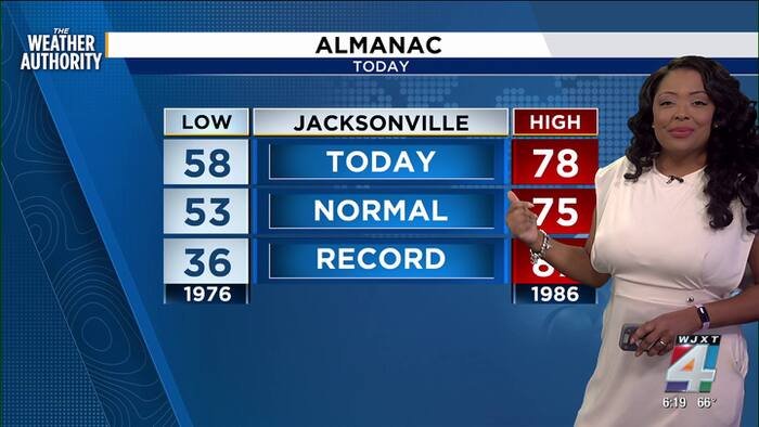
Beyond the hazards at the beach, the region is enjoying a period of mild, seasonal weather following the passage of a weak cold front. Residents can expect temperatures to return to average levels for early November. Mornings are starting off crisp in the low to mid-50s, with light winds blowing from the north and northeast, accompanying generally pleasant, partly cloudy skies. Throughout the weekend, temperatures are expected to peak in the mid to upper 70s, providing a comfortable backdrop for those keeping their feet on dry land.
However, the change in weather patterns brings a new development as the weekend concludes. Atmospheric moisture lingering overnight is setting the stage for the potential formation of dense fog. Forecasters are warning that the fog could begin moving in as early as Sunday evening, potentially persisting into the start of the work week. Motorists are encouraged to remain vigilant, as visibility may be significantly reduced during the late-night and early-morning hours.
In better news for those monitoring the tropics, the Atlantic remains quiet. Invest AL94, which had been a point of interest for meteorologists, has officially dropped to a 0% chance of development. This news offers a reprieve for coastal communities as the region settles into a more stable late-autumnal pattern.
For now, the focus remains on public safety at the shoreline. With high-risk rip currents dominating the marine forecast, the best advice remains to admire the ocean from a safe distance on the beach. Travelers and local residents alike should keep a close eye on weather updates as they transition into the new work week, particularly if they are commuting through areas prone to dense fog.
Copyright 2026 by WJXT News4JAX – All rights reserved.
Disclaimer: This content is auto-generated for informational purposes only.
Source: Read Original News