









A volatile climate pattern fueled by the El Niño phenomenon is wreaking havoc across the United States, forcing millions of residents to brace for life-threatening weather as record-shattering rainfall hits the Southeast and intensified storms target the California coast.
In Florida, the impact of a shifting storm track was immediate and devastating. Daytona Beach experienced an extraordinary deluge on Wednesday, recording nearly 5.8 inches of rain in a single day. This total obliterated the city’s previous daily rainfall record by more than 5 inches, overwhelming local drainage systems and turning streets into rivers. As of Thursday morning, authorities reported that approximately 11 million Floridians remained under a flood watch, with emergency management teams on high alert for additional flash flooding. Meteorologists note that while El Niño typically lowers temperatures across the Gulf Coast and Southeast, it acts as a conveyor belt, consistently drawing volatile storm tracks farther south and positioning the region for persistent, heavy precipitation.
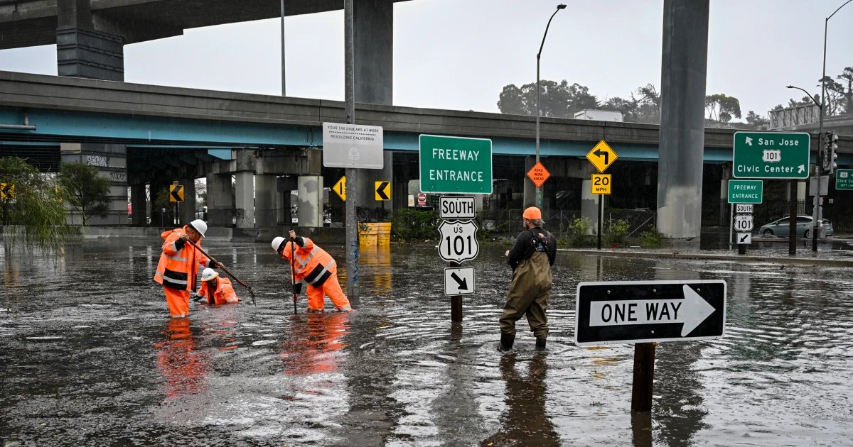
Meanwhile, on the opposite side of the country, California is grappling with the dangerous synergy between El Niño and atmospheric rivers. While scientists emphasize that these intense moisture plumes do not necessarily occur more frequently during El Niño cycles, the storms that do materialize are packing a significantly “stiffer punch.” The culprit is an unusually warm Pacific Ocean, which acts as a high-octane fuel source for incoming weather systems.
Off the coast of Monterey, sea surface temperatures have been measured at approximately 12 degrees Fahrenheit warmer than the historical average. Experts point to this marine heat as the primary driver behind the recent surge of moisture hitting the West Coast. According to meteorologists monitoring the event, a significant portion of the atmospheric moisture observed sweeping into the state this week was directly amplified by this anomalous ocean warmth. The increased energy allows these systems to dump massive quantities of rain in short windows, heightening the risk of mudslides, debris flows, and widespread localized flooding in already saturated areas.
The dual crises underscore the complex and far-reaching influence of the current El Niño cycle. By manipulating jet streams and warming coastal waters, the climate pattern is creating a “two-front” weather emergency. In the Southeast, the primary threat remains the sheer volume of water being deposited on vulnerable urban landscapes. In the West, the danger lies in the heightened intensity of the atmospheric rivers, which are becoming increasingly difficult to forecast and manage as they draw strength from a record-warmed Pacific.
As both regions navigate the ongoing deluge, emergency agencies are urging residents to remain vigilant. With the soil saturated in many areas and water tables dangerously high, officials warn that even moderate additional rainfall could trigger significant secondary impacts throughout the remainder of the week.
Disclaimer: This content is auto-generated for informational purposes only.
Source: Read Original News