









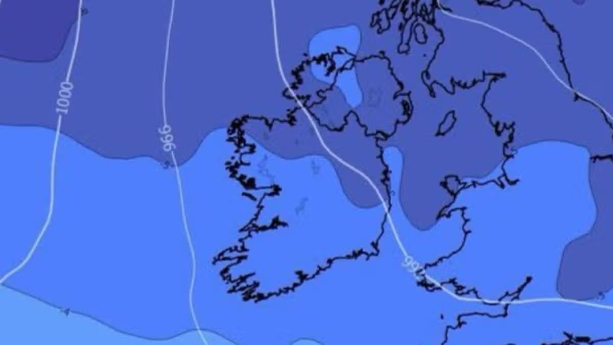
Ireland is bracing for a potential shift into colder conditions as weather experts monitor signs of an “unusually early” Sudden Stratospheric Warming (SSW) event. While the current forecast remains relatively mild, meteorologists are keeping a close eye on atmospheric data that could trigger a significant drop in temperatures by the second week of November.
An SSW event occurs when rapid warming takes place high in the stratosphere. Historically, these phenomena have been linked to severe cold spells, including the historic 2009–2010 freezes and the infamous “Beast from the East” in 2018. However, experts are urging the public to remain cautious, noting that while the atmospheric patterns are shifting, there is currently no guarantee of a repeat of those extreme winter events.
Kenneth Mc Donagh of the Donegal Weather Channel highlighted that recent model runs indicate a potential “blocking high” over Greenland. This configuration could force colder air down across Ireland, raising the possibility of winter showers—including sleet and snow—across the northern half of the country, with nighttime temperatures dipping below 0°C.
“It is certainly one to keep an eye on, especially considering the current price of home heating oil,” Mc Donagh noted. He added that such a pattern would be a deviation from the traditional expectations associated with strong El Niño events, which usually result in a wetter and windier start to the winter season.
Alan O’Reilly of Carlow Weather also confirmed that while there are signs of “significant disruption to the polar vortex,” the situation remains fluid. Many atmospheric disruptions to the vortex fail to impact surface weather, or they recover rapidly, meaning the long-term outlook for December remains uncertain.
In the immediate term, the Irish public can expect a much more settled spell of weather. Following a mix of cloud and light rain in the west and northwest today, the country is set for a calm and bright weekend. Met Éireann reports that Sunday will be dry and sunny, though temperatures will be cooler than in recent days, ranging between 10°C and 13°C.
Looking ahead to next week, the weather is expected to remain largely dry and stable as high pressure continues to dominate. While some patchy rain and drizzle may affect southern and eastern counties by Wednesday, the overall trend is for variable cloud cover with clear, cold nights and occasional patches of mist and fog.
As we head deeper into November, all eyes will remain on the stratosphere to see if the early signs of warming translate into the first true blast of winter for the country, or if the polar vortex will stabilize and maintain more moderate conditions for the coming weeks.
Disclaimer: This content is auto-generated for informational purposes only.
Source: Read Original News