







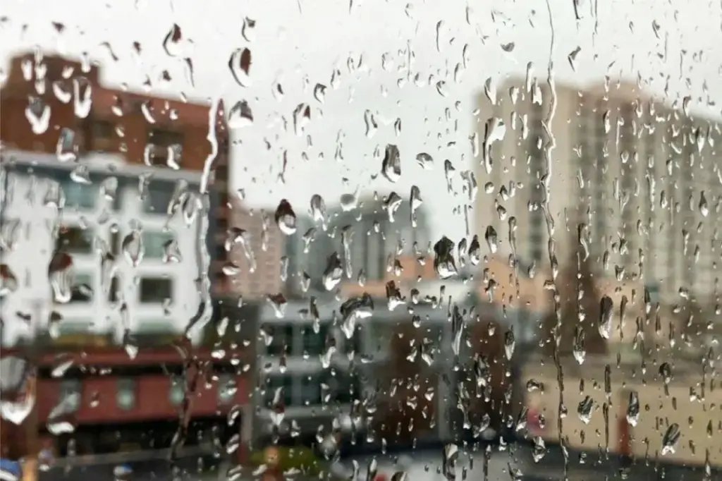
Environment Canada has issued a yellow rainfall warning for significant portions of Vancouver Island as a potent moisture-laden low-pressure system continues to track across the region. The alert, which was formalized at 3 p.m. on Sunday, November 15, covers the west, inland, and north sections of the island, where heavy precipitation is expected to persist through the evening before easing into light showers overnight.
The current weather event is the result of a robust low-pressure system that moved into the region on Saturday night, bringing sustained, heavy downpours. According to meteorological data provided by Environment Canada, the precipitation is unevenly distributed, with specific areas facing higher totals. The regions between Zeballos, Gold River, and Port Alice are under the most significant threat, with rainfall accumulations forecasted to reach between 80 and 130 millimetres. Areas including Tofino and locations further south are expected to experience between 50 and 100 millimetres of rainfall.
Environment Canada has categorized this weather warning with a moderate impact level, noting that there is high forecast confidence in the data. Authorities are emphasizing the importance of public safety as the heavy rain creates hazardous conditions across the island’s infrastructure. The primary concerns include the pooling of water on major roadways and in low-lying areas, which could create significant challenges for commuters and reduce visibility. Furthermore, the saturated ground poses a risk of localized washouts, particularly in the vicinity of rivers, creeks, and culverts that may be struggling to manage the rapid influx of runoff.
Because the system remains active throughout the final hours of the weekend, the provincial meteorological agency is urging residents to remain vigilant. Local governments and emergency services are monitoring the situation closely, particularly in areas prone to seasonal flooding. Residents are encouraged to stay updated by checking Environment Canada’s official website or local news outlets for the most recent forecasts and weather alerts, as conditions can shift rapidly depending on the movement of the low-pressure system.
For those living in affected areas, taking proactive measures is advised. This includes clearing storm drains on private property if safe to do so, avoiding unnecessary travel through flooded areas, and keeping emergency kits accessible. The risk of sudden washouts near watercourses is a particular concern, and citizens are reminded to maintain a safe distance from rising streams and riverbanks, where the ground may become unstable.
Environment Canada is also seeking assistance from the public to help track the impact of the storm. Residents are encouraged to report observations of severe weather or flooding. Reports can be submitted via email to BCstorm@ec.gc.ca or by utilizing the hashtag #BCStorm on social media platforms. These crowdsourced reports provide essential real-time data that meteorologists use to verify forecast models and refine warnings as the weather system evolves.
As the system is expected to taper off into light showers overnight, the immediate threat of intense rainfall should begin to subside. However, the residual effects—such as saturated soil and elevated water levels—will require continued caution from the public as the new week begins. Monitoring official channels remains the most effective way to ensure personal safety during this period of unsettled weather.
Disclaimer: This content is auto-generated for informational purposes only.
Source: Read Original News