









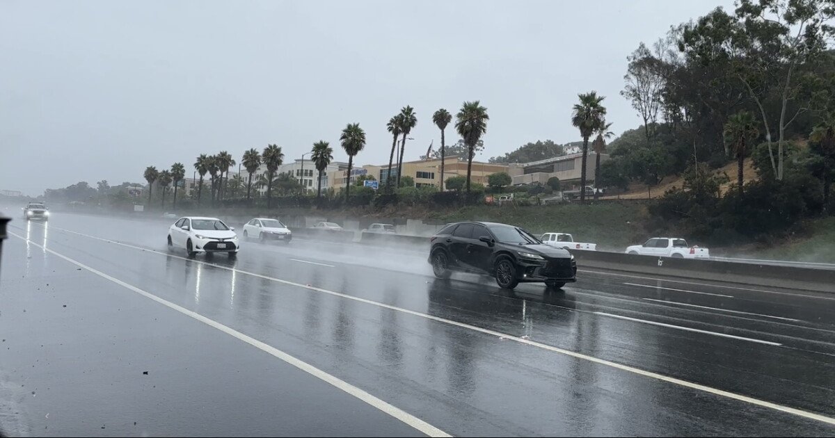
Friday morning’s thunderstorms brought a wet start to the weekend, dousing the California coast with nearly half an inch of rain. While the precipitation provided a brief respite from the dry air, it also served as a stark reminder of a larger, more volatile weather pattern currently unfolding along the Pacific. Even before this week’s storm, the region’s rainfall totals for the current water year were already tracking about an inch above average, according to the National Weather Service.
However, experts from the Scripps Institution of Oceanography and the National Oceanic and Atmospheric Administration (NOAA) warn that the rain is merely the most visible symptom of a “super” El Niño event. During a briefing on Thursday, scientists unveiled new data illustrating that record-breaking ocean temperatures and sea levels are fueling an unprecedented climate anomaly.
“We’re now sitting on the precipice of yet another Godzilla El Niño, where temperatures are supposed to be and are already higher than we’ve ever measured in the past,” said Jennifer Smith, a marine ecologist with Scripps.
Smith, who monitors water temperatures off the Scripps pier, noted that the region was already experiencing elevated warmth before the current El Niño arrived. However, a massive surge of warm water moving from the east is now amplifying a marine heat wave. Smith recorded the highest November temperatures ever observed at the pier, with readings still hovering above 75 degrees. The heat is not limited to the surface; scientists have detected temperatures in the high seventies at depths of 50 meters.
“This is quite unprecedented,” said NOAA’s Andrew Lising. “We’re looking at some of the warmest temperatures in the deep waters that we’ve ever had in this record of 20 years now of sampling.”
The phenomenon is driven by the collapse of east trade winds that typically pull warm water toward Australia. When these winds weaken, the warm water “sloshes” back toward the Americas in a movement known as a Kelvin wave. According to Mark Merrifield, a physical oceanographer at Scripps, this sloshing effect, combined with massive swells and thermal expansion, has caused sea levels to rise significantly higher than historical El Niño averages.
While a standard El Niño might raise local sea levels by six to twelve inches, current measurements show levels are now more than a foot higher than expected. This creates a dangerous scenario for the coming days, as forecasters expect eight-foot swells to crash onto the county’s beaches.
Imperial Beach is at particular risk. “The strong wave event on top of this foot-and-a-half sea level anomaly is going to push well above what we consider minor thresholds,” Merrifield warned, suggesting that the area could face moderate to severe flooding. Low-lying bays and estuaries are also under watch as the National Weather Service forecasts intermittent rain to continue through Wednesday.
Disclaimer: This content is auto-generated for informational purposes only.
Source: Read Original News