









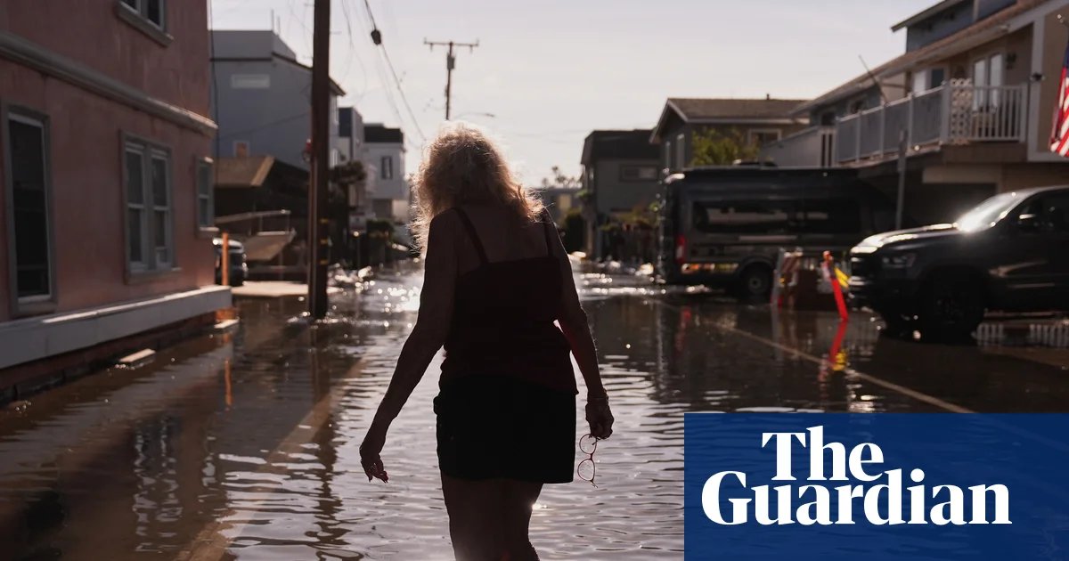
Historic high tides have brought chaos to the California coast this week, with record-breaking water levels inundating communities from San Diego to the San Francisco Bay Area. Seawater has surged into streets, overwhelmed homes and businesses, and crippled vital transportation corridors, leaving state officials scrambling to manage the fallout of an exceptionally volatile marine environment.
In Marin County, north of San Francisco, the scene was surreal as kayakers and paddleboarders navigated water-filled thoroughfares. Emergency responders were forced to conduct water rescues for motorists trapped in stalled vehicles, while pedestrians and cyclists attempting to traverse the rising lagoons found themselves in waist-deep water. Further south, in Newport Beach, waves battered emergency infrastructure, seeping through protective berms and sandbag barriers that had been hastily constructed to hold back the tide.
The data confirms the severity of the event: all-time records are being shattered. Both Los Angeles and San Diego recorded tides exceeding eight feet, while San Francisco broke its monthly record for October two days in a row this week. The National Weather Service (NWS) has issued a persistent string of flood advisories and warnings, cautioning that low-lying infrastructure will remain at risk through the remainder of the week.
Climate scientists warn that these floods, while disruptive, may only be a precursor to more dangerous conditions. The flooding is being driven by a “perfect storm” of factors: global human-caused climate change, the thermal expansion of a record-breaking oceanic heatwave, and a “coastally trapped Kelvin wave”—a massive band of warm water moving up the North American coastline.
“What we are seeing now could be the beginning of what could be significantly more disruptive conditions later this year,” climate scientist Daniel Swain said during a briefing. According to data from the National Oceanic and Atmospheric Administration (NOAA), Los Angeles has already logged 12 coastal flood days in 2026—the most in the last 50 years—with the most dangerous period of the season yet to come.
Experts are particularly concerned about the intersection of these elevated sea levels with the impending “king tides” expected around the upcoming Thanksgiving and Christmas holidays, as well as late January. Should a powerful winter storm—supercharged by a strengthening, historic El Niño—hit the coast when the tides are at their seasonal peak, the resulting inundation could be catastrophic.
“We are well into extreme territory,” Swain noted. “If these layers align as expected, we are looking at up to five feet of sea level rise above average in many places at once.”
With NOAA forecasting an 80% chance of high-tide flooding in Southern California hubs like San Diego and Santa Monica throughout December, coastal residents are being warned that the waters may not recede for long, and the true test of the state’s emergency defenses may still lie ahead.
Disclaimer: This content is auto-generated for informational purposes only.
Source: Read Original News