








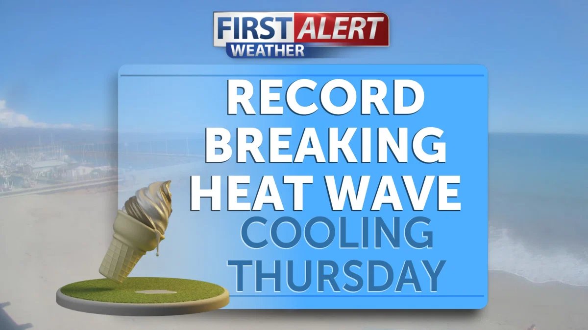
SANTA BARBARA COUNTY, Calif. — An unrelenting heat wave shattered historical records across Santa Barbara County on Wednesday, as an extreme high-pressure system sent temperatures soaring well into the triple digits. The blistering conditions prompted emergency officials to issue urgent public health warnings as residents braced for one of the hottest days of the year.
The Santa Maria Airport recorded a staggering high of 102 degrees, a mark that obliterated previous records for the date and underscored the severity of the thermal event. The oppressive heat extended across the region, with inland valleys and coastal areas alike experiencing temperatures ranging from the mid-90s to well over 100 degrees.
By midday, the National Weather Service had upgraded its heat advisory to an excessive heat warning, noting that the combination of stifling temperatures and low humidity created a dangerous environment, particularly for the elderly, children, and those working outdoors. Throughout the county, utility providers monitored the electrical grid closely as air conditioning usage reached peak demand levels, though no widespread outages were reported by early evening.
Local authorities urged community members to curtail strenuous outdoor activities, stay hydrated, and utilize designated cooling centers established in cities such as Santa Maria, Lompoc, and Santa Barbara. In Santa Maria, civic buildings opened their doors to provide air-conditioned refuge for those without adequate home cooling systems.
“The heat we are seeing today is not just uncomfortable; it is physically hazardous,” said a spokesperson for the Santa Barbara County Office of Emergency Management. “We are asking everyone to check on their neighbors, keep pets indoors, and recognize the early signs of heat-related illnesses, such as exhaustion or heat stroke.”
The scorching temperatures also elevated concerns regarding fire danger. With the mercury climbing and humidity levels plummeting, local fire departments were placed on high alert. Agencies across the county increased staffing levels in anticipation of potential brush fires, as even the slightest spark could ignite tinder-dry vegetation in the extreme conditions.
Meteorologists suggest that while a slight cooling trend is expected to begin late Thursday, the atmosphere remains unstable. The current high-pressure ridge is anticipated to drift eastward, but the lingering effects of the heat may keep temperatures elevated through the end of the work week.
As the sun began to set on Wednesday evening, temperatures remained unseasonably warm, providing little relief for the region. Residents are encouraged to monitor local weather channels and emergency broadcasts for updates as the county navigates the remainder of this record-breaking heat event. For those currently suffering from heat-related distress, medical professionals remind the public to seek immediate assistance by calling 911.
Disclaimer: This content is auto-generated for informational purposes only.
Source: Read Original News