







FORT MYERS, Fla. — Residents across Southwest Florida should prepare to swap their summer attire for sweaters as the coldest air of the season prepares to sweep through the region. According to the Gulf Coast Weather Most Accurate Forecast team, a potent cold front is tracking toward the area, promising a significant shift in the climate by the end of the work week.
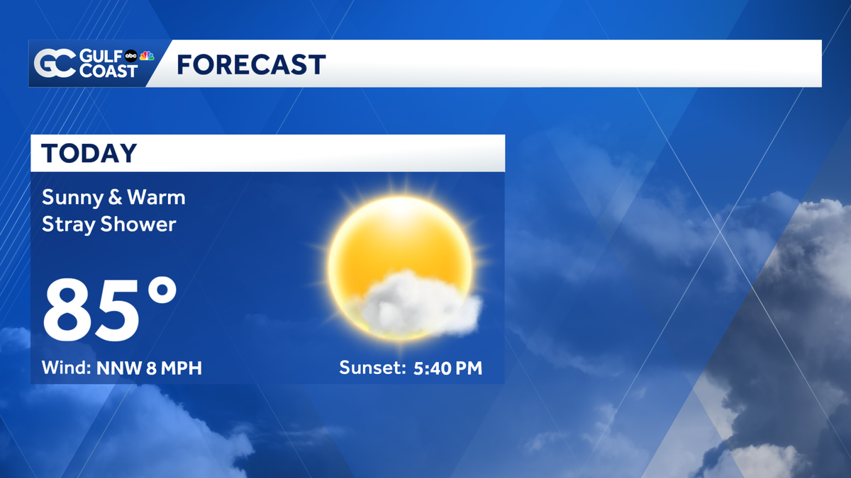
For now, the region remains in the grip of late-season warmth. Monday is expected to be another classic Florida day, featuring plenty of sunshine and high temperatures peaking in the mid-80s. While there is a slight chance of a stray shower during the afternoon hours, meteorologists expect the vast majority of the Gulf Coast to remain dry throughout the day.
However, the pattern is set to change dramatically by Friday. A strong cold front will push through the Gulf Coast, acting as a catalyst for a much drier and colder air mass. In the hours leading up to the front’s arrival, residents may notice a rise in humidity, along with a few isolated showers and thunderstorms as the boundary moves through.
The most noticeable impact of the front will be felt Friday night. As the cold air settles in, temperatures are expected to take a sharp dive, causing the mercury to plummet into the 50s by Saturday morning. This will mark the lowest temperatures the Gulf Coast has experienced in several months, signaling a definitive departure from the persistent heat of the past weeks.
Those heading outdoors for weekend plans should expect breezy and notably cooler conditions. Daytime highs throughout the weekend are forecasted to remain modest, generally ranging from the upper 60s to the low 70s. This crisp, cool weather provides a brief but welcome respite for those eager for a taste of winter, though it may be short-lived.
Weather experts note that for residents who enjoy the colder climate, this weekend will be the time to make the most of the crisp air. Looking ahead to next week, the air mass is expected to modify, and a gradual trend toward warmer temperatures will likely begin to take hold once again.
As the cold front approaches, the Gulf Coast Weather team urges residents to stay informed through the latest updates. You can track changing conditions in real time using the Gulf Coast Live Radar, or stay connected via the free Gulf Coast News app, which provides breaking weather alerts and live streaming content on the go. Whether you are watching from your television or scrolling through your mobile device, the weather team remains committed to providing the most accurate and reliable data as this cold snap develops across the region.
Disclaimer: This content is auto-generated for informational purposes only.
Source: Read Original News