
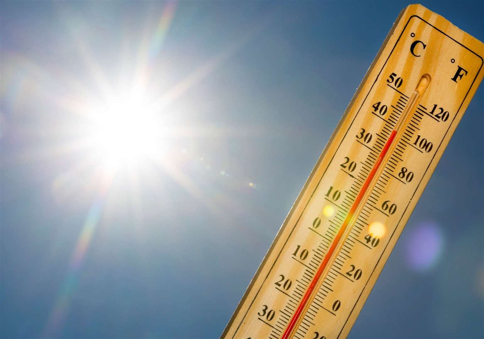
Kent is set to bake in record-breaking temperatures that could soar to nearly 40C this week.
According to the Met Office, the sweltering heatwave could last until at least Thursday – sparking widespread weather warnings, health alerts and serious concerns for vulnerable people.


Forecasters say there is “growing confidence” that this week will break the record for the hottest June temperature ever recorded in the UK.
The current milestone was set in 1976 when Southampton reached 35.6C.
Kent towns are braced to bear the brunt of the blistering heat, with Maidstone expected to swelter in highs of 39C on Wednesday when the temperatures are predicted to peak.
Elsewhere in the county, Dartford and Rochester are both forecasting a scorching 38C, while Ashford, Faversham, and Canterbury are all set to hit 37C.
Even coastal Dover will see little relief from the heatwave, with temperatures expected to reach 35C.

The UK Health Security Agency (UKHSA) has warned the public to expect significant impacts across health and social care services, alongside an expected rise in deaths, particularly among those aged 65 and over or those with underlying health conditions.
Hot spells are also expected to bring disruptions to rail, road, and air travel, with the Met Office warning of the possibility of some tarmac melting.
Today, National Rail has advised travellers to check their journeys in advance, allow extra time, and ensure they carry water.
Over the coming days, highly humid conditions are forecast alongside potentially “tropical nights” where overnight temperatures refuse to drop below 20C.
The weather service warns this will make the evenings feel significantly “muggier” than last month’s heatwave.

Giving a breakdown of the week ahead, Met Office meteorologist Simon Partridge said central southern England could see highs of up to 34C on Monday, before temperatures climb to 37C on Tuesday across southern England and south-east Wales.
“Then Wednesday and Thursday, both 38C but there’s potential for it to go higher,” Mr Partridge added.
“And then by Friday, coming down a little bit, so we’ll see 33C and then it should ease off into the weekend but still stay quite warm, even into next week, although it won’t be anywhere near as warm as this week.”
The Royal Society for the Prevention of Cruelty to Animals (RSPCA) has also issued an urgent warning to pet owners, labelling the extreme temperatures a “silent killer” for animals.
People are being urged to skip hot walks and are reminded to never leave their pets inside vehicles.

It comes after it was reported yesterday that the Met Office had extended its amber extreme heat warning to run from Monday until Thursday, having previously been in place only until the end of Tuesday.
The alert covers the whole of Kent, as well as London, the east, the south west, and parts of Wales.