
New South Wales has recorded its second-driest April on record, according to the weather bureau, as much of the country headed into a dry spell.
Rainfall was below average across every state last month, conditions that were likely to continue throughout winter, according to the Bureau of Meteorology’s long-range forecast, which indicated El Niño was likely to develop.
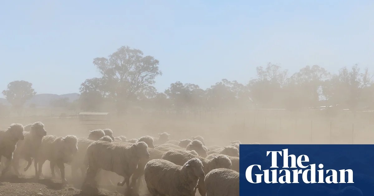
Hugh McDowell, a senior climatologist at the BoM, said persistent high pressure across NSW had led to the recent lack of rain. The state received only 13% of its average April rainfall, the second-lowest after 1997.
The landscape was drying out, McDowell said, with soil moisture now very much below average in parts of NSW. “That’s got an impact on farmers, but also it will have an impact on the risk of bushfire in the coming season ahead.”
The Northern Territory was the only jurisdiction nationwide that was wetter than normal in April.
Dr Mandy Freund, a climate scientist at the University of Melbourne, described the likely El Niño as the “elephant in the room”.
“It looks really strong. That doesn’t necessarily mean we’ll have really big impacts of El Niño on Australian rainfall, but it kind of sets the scene.”
In Australia, El Niño was often associated with drier conditions, she said, with its largest impacts likely to be experienced from September to November. But a strong event doesn’t necessarily mean low rainfall, she said – instead, it increased the chances of dry conditions.
Ailie Gallant, an associate professor at Monash University, said there was still some uncertainty regarding El Niño at this time of year – due to the “autumn predictability barrier” – but the situation would become much clearer in coming months.
“One of the things … we do know about El Niños is that they’re very unlikely to bring very wet conditions,” she said.
That was a concern for parts of the country heading into their third year of drier than normal conditions. The BoM observed multi-year rainfall deficiencies across the NSW western slopes and into Queensland, large parts of west and south-west Western Australia, agricultural areas in South Australia, and much of Victoria and Tasmania.
Scientists were still grappling with the role of climate change in drought, Gallant said, but there was an observable reduction in cool season rainfall over the south-east, particularly in Victoria and Tasmania.
A number of water storages across the east and south-west were less than 50% full, according to the BoM, with storages in the Murray-Darling Basin at 48%.
“Broadly speaking, we’re in a pretty dry regime right now,” Gallant said.
“To really kick that drought to the curb, so to speak, what’s needed is very heavy and persistent rainfall, and very wet months. We just haven’t seen that.
“At the moment there is nothing on the horizon that indicates we will get that heavy rainfall.”
Australia experienced its fourth-warmest year on record in 2025, with annual temperature about 1.23C higher than average, according to the BoM. Global heating, driven mainly by the burning of fossil fuels, has increased the frequency and severity of extreme weather events, including heatwaves and bushfires.