








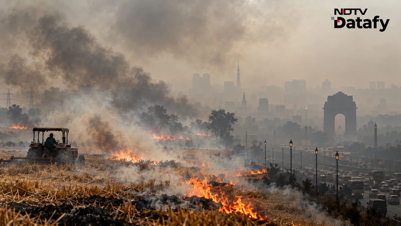
North India Grapples with Rising Pollution as Winter Approaches
As the winter chill begins to settle across the country, a familiar and concerning pattern has emerged: the divide in air quality between Northern and Southern India. Recent data from the Central Pollution Control Board (CPCB) highlights a stark contrast in air quality index (AQI) levels, with cities across the Indo-Gangetic Plain recording significantly higher pollution concentrations than their counterparts in the south.
For residents of the National Capital, the seasonal shift has brought with it the annual struggle against deteriorating air quality. Monitoring stations across Delhi reveal a fragmented landscape of pollution; the severity of the air quality fluctuates drastically from one neighborhood to another, highlighting the complex and hyper-local nature of toxic exposure within a single metropolitan area.
Decoding the Sources of Delhi’s Toxic Air
The persistent smog in Delhi is not the result of a single culprit, but rather a multifaceted issue involving several distinct emission sources. According to the Decision Support System for Air Quality Management, as of late October 2026, the primary driver of the city’s PM2.5 levels is the transportation of pollutants from the wider National Capital Region (NCR), accounting for 37% of the total load.
Local vehicular emissions follow, contributing nearly 21% of the city’s pollution, while miscellaneous urban sources add another 13.3%. Perhaps most discussed is the role of stubble burning, which currently accounts for roughly 11% of the air quality degradation. While this percentage was relatively manageable throughout September and early October, it has witnessed a steady climb as harvest season progresses, signaling an alarming trend for the upcoming winter months.
Mapping the Farm Fire Crisis
The spike in stubble-smoke contribution is directly linked to the intensification of agricultural residue burning in neighboring states. Data provided by the Indian Agricultural Research Institute (IARI) and the Consortium for Research on Agroecosystem Monitoring and Modelling from Space (CREAMS) provide a clear geographical view of where these fires originate.
Since mid-September, satellite-based tracking has identified dense clusters of fire incidents primarily concentrated in northern and central regions. Punjab leads the tally with 581 recorded fire incidents, followed closely by Madhya Pradesh with 468 and Rajasthan with 438. Uttar Pradesh and Uttarakhand also feature in the top five, with 286 and 141 incidents respectively.
The spatial distribution of these fires underscores why this issue becomes a national focal point at this time of year. As the agricultural cycle progresses, the combination of widespread stubble burning, regional transport of pollutants, and stagnant winter air creates a “toxic cocktail” that residents in the north are forced to endure.
Environmental experts warn that without robust inter-state coordination and a shift in crop residue management strategies, the region will continue to face health hazards that disproportionately impact vulnerable populations. As the season deepens, the focus remains on whether policy interventions can mitigate the impact of these fires before the air quality reaches hazardous levels.
Disclaimer: This content is auto-generated for informational purposes only.
Source: Read Original News