




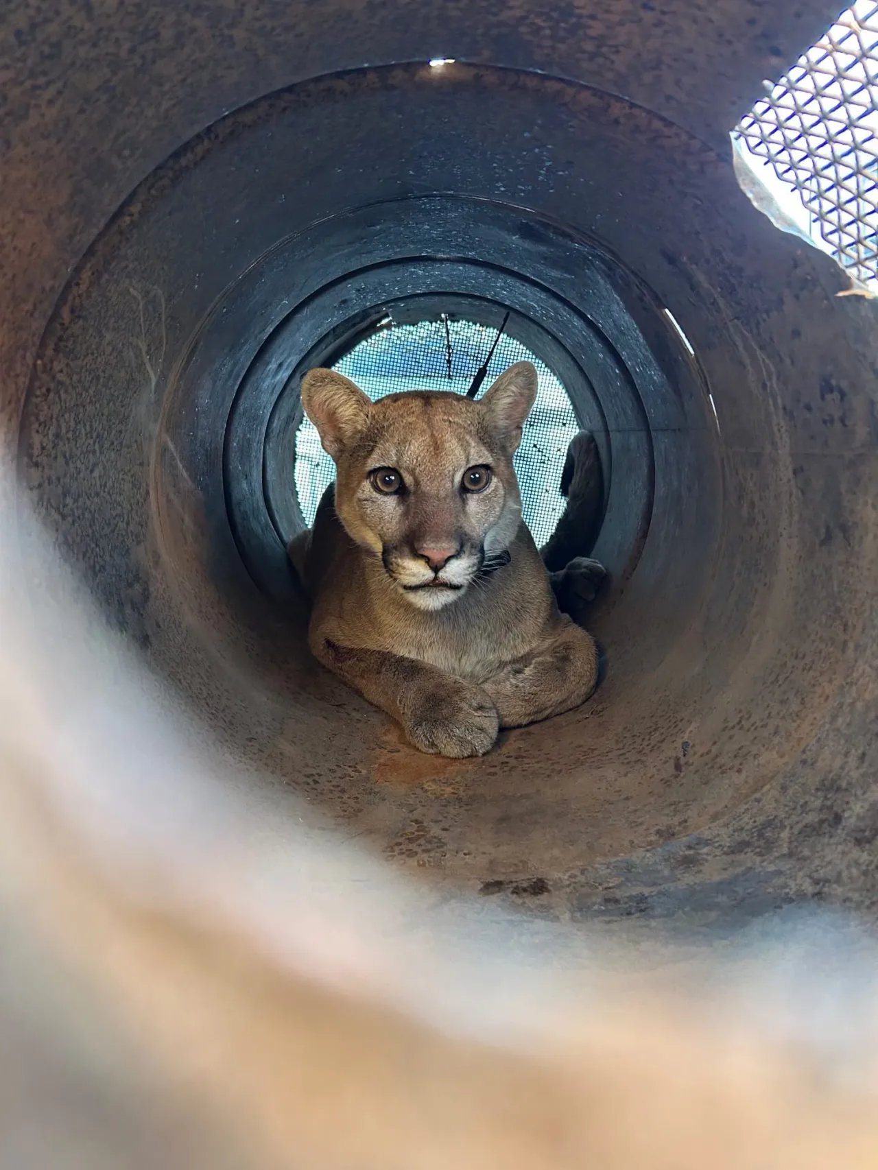
MOAB, Utah — A high-stakes wildlife operation unfolded in Moab this week after a mountain lion was discovered lingering near a local business, prompting a swift response from state wildlife officials and a testament to how modern satellite mapping and AI-driven predictive modeling are reshaping wildlife management.
The mountain lion, which had been spotted by employees near a commercial property on the edge of town, was safely tranquilized by biologists from the Utah Division of Wildlife Resources (DWR). Following the successful capture, officials confirmed the animal would be relocated to a more remote habitat, far from the human-frequented areas of Moab.
## The Role of Tech in Wildlife Monitoring
While the immediate operation was handled by boots-on-the-ground biologists, the tech industry is playing an increasingly vital role in how such encounters are handled. State wildlife agencies are increasingly adopting advanced data visualization tools—many integrated into the Google Cloud ecosystem—to track wildlife movement patterns.
By utilizing Google Earth Engine, researchers can now analyze geospatial data to predict wildlife corridors and identify hotspots where mountain lion activity is likely to intersect with urban development. This shift toward data-driven conservation allows authorities to be proactive rather than reactive. Instead of waiting for a 911 call from a business owner, agencies can now utilize machine learning algorithms to process trail camera footage and telemetry data, flagging potential problem areas before a lion wanders into a city center.
## AI and Public Safety
The incident in Moab underscores the growing intersection of urban safety and wildlife preservation. Beyond just physical tracking, artificial intelligence is being tested in the field of animal behavioral analysis. AI models trained on thousands of hours of predator movement footage help DWR officials categorize whether a cougar is showing signs of habituation—the dangerous process where an animal loses its fear of humans.
For the residents of Moab, this tech-led approach provides a layer of security. Modern map updates on mobile devices allow for more granular alerts to be pushed to local residents. If a mountain lion is tracked in a specific sector of the county, localized notifications can be deployed in real-time, effectively using the same location-based architecture that powers Google Maps’ traffic alerts to inform citizens about wildlife movement.
## Bridging the Gap Between Conservation and Data
This relocation effort is part of a broader trend where tech companies are partnering with environmental groups to promote biodiversity. Tools like Google’s “Wildlife Insights,” which utilizes AI to automatically identify species in massive collections of camera trap photos, are standardizing how state agencies compile data on predator populations.
In the case of the Moab mountain lion, officials were able to quickly determine the animal’s approximate age and health status by cross-referencing previous sightings in the regional database. This digital record-keeping is critical; it ensures that if the animal is spotted again, wildlife managers already have a “profile” on the individual, allowing for a much faster assessment of whether the lion is a repeat offender or a transient juvenile just passing through.
As Moab continues to see an influx of tourism and development, the pressure on natural habitats will likely grow. The successful relocation of this mountain lion serves as a reminder that human expansion and wild ecosystems must coexist. By leveraging the same AI and big-data technologies that power global business, state agencies are finding that they can protect these magnificent predators while ensuring that public safety remains the top priority.
The mountain lion is currently recovering from the sedative and will be released in an undisclosed, rugged location that offers ample prey and minimal human contact, keeping the animal—and the community of Moab—safe for the foreseeable future.
Disclaimer: This content is auto-generated for informational purposes only.
Source: Read Original News