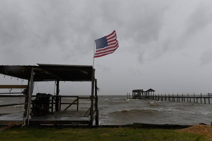









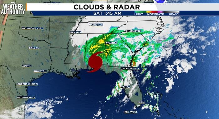
Hurricane Isaias made a powerful landfall last night along the Florida Panhandle as a strong Category 2 hurricane, unleashing a torrent of destructive weather across the Gulf Coast. While the storm has since weakened to a post-tropical cyclone after moving inland, the danger is far from over for the Southeast, particularly for Northeast Florida and Southeast Georgia, which continue to grapple with the storm’s far-reaching outer bands.
Although the center of Isaias tracked well to the west of the region, residents are still experiencing significant impacts. A combination of deep tropical moisture, persistent onshore winds, and a tight pressure gradient has created a volatile environment. The National Weather Service (NWS) warns that the threat is now multifaceted, shifting from the core hurricane winds to dangerous rain-driven hazards.
Persistent showers and scattered thunderstorms are expected to dominate the region throughout the day. Meteorologists have highlighted a specific concern regarding severe weather, noting that some storms could pack damaging wind gusts or even produce brief, isolated tornadoes. The Suwannee Valley and inland areas of Southeast Georgia are currently under the highest tornado risk this afternoon, prompting officials to urge residents to remain vigilant and weather-aware.
Water, however, remains the primary concern. A Flood Watch is in effect across much of Northeast Florida and portions of Southeast Georgia, with total rainfall accumulations expected to reach 1 to 3 inches. Because the ground is already heavily saturated from recent weather events, even minimal additional rainfall threatens to trigger significant flooding in low-lying roads, neighborhoods, and poor-drainage zones. Reports of flooding have already surfaced in Duval, Clay, Nassau, St. Johns, and Camden counties, where radar estimated several inches of rain fell overnight.
Coastal areas are facing their own set of challenges. Coastal Flood Advisories remain in effect as a combination of high astronomical tides and strong onshore winds forces water into the Intracoastal Waterway and the St. Johns River basin. Residents in these tidal zones are cautioned that water may overflow onto normally dry roads, parks, and low-lying parking lots. Furthermore, the Atlantic coastline remains hazardous, with High Surf Advisories and Rip Current Statements in place; officials strongly advise the public to stay out of the water due to dangerous sea states.
Strong wind gusts are also expected to make travel difficult, particularly on elevated roadways and bridges. These conditions are being fueled by a complex atmospheric setup where deep tropical moisture meets a lifting warm front and already-soaked soil.
Conditions are expected to show gradual improvement by late tonight and into Sunday as Isaias moves further away and the local pressure gradient begins to relax. While rain chances will not vanish immediately, they are forecasted to become more scattered as the weekend progresses. Early next week promises a return to more stable weather, with lower humidity, increased sunshine, and a welcome reprieve from the storm’s influence.
Disclaimer: This content is auto-generated for informational purposes only.
Source: Read Original News