









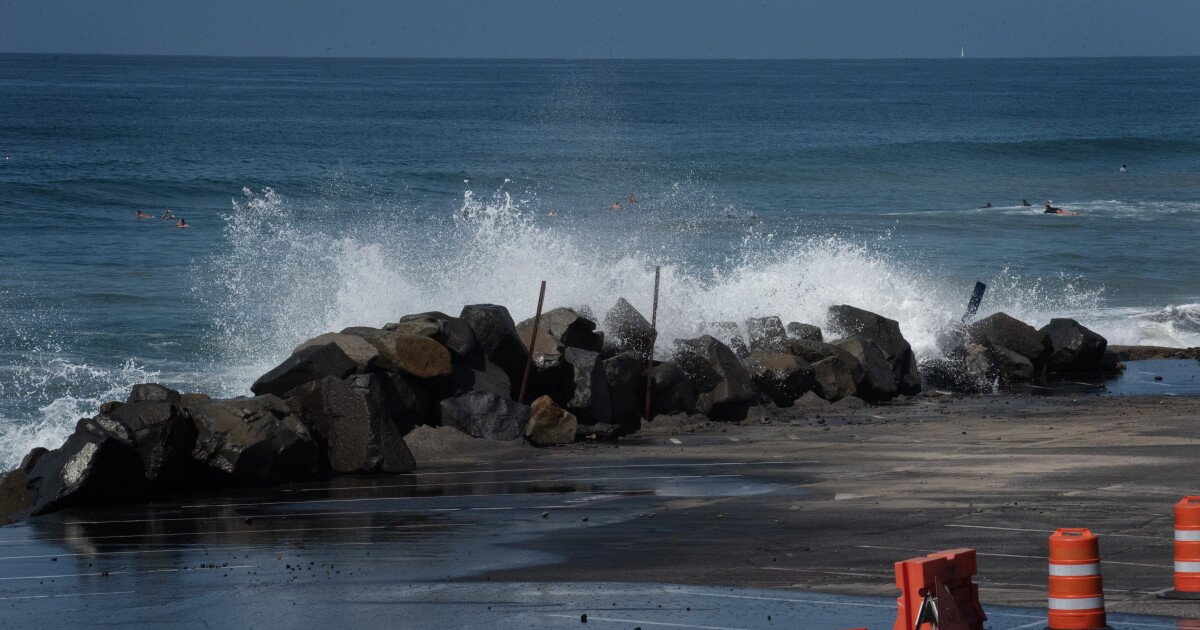
San Diego County residents are bracing for a period of extreme coastal conditions as the National Weather Service (NWS) has issued a coastal flood warning, alerting the public to potentially record-breaking high tides starting Sunday morning. The advisory, which covers the entire San Diego and Orange County coastlines, is set to remain in effect through 1:00 p.m. Thursday.
Forecasters are predicting tides between 7.5 and 8 feet, with some areas seeing water levels rise 1 to 1.7 feet above normal projections. These surge conditions pose a significant threat to low-lying beach areas, coastal roads, and infrastructure vulnerable to salt-water intrusion. Local authorities are urging residents and tourists alike to exercise extreme caution near the water and to avoid areas already compromised by flooding.
“We are looking at significant tidal action that could easily overwhelm typical beach access points and low-elevation coastal routes,” an NWS spokesperson noted. “The public should stay clear of flooded roadways and refrain from venturing onto beaches during peak tidal hours.”
While the coast deals with the surge, the region is simultaneously experiencing an unseasonable heatwave. Daytime highs in both coastal zones and inland valleys are expected to climb into the upper 70s to low 80s through Monday—temperatures roughly 5 to 10 degrees above typical seasonal norms. Overnight lows will remain relatively mild, ranging from the mid-50s to low 60s.
However, the late-October warmth will be short-lived. Meteorological patterns suggest a gradual cooling trend beginning in the middle of next week as low clouds increase across the region. By Friday, the forecast shifts further, with the NWS monitoring the potential for incoming rain. While the exact timing and precipitation totals remain uncertain, the shift toward cooler, wetter weather marks a definitive end to the brief period of high-pressure heat.
In the mountains, conditions remain predictably cooler, with daytime temperatures hovering in the 60s and overnight lows dropping as low as the 30s at higher elevations. Meanwhile, desert regions will enjoy a warm start to the week with highs in the 80s before the cooling trend takes hold.
Looking ahead, the NWS warned that the unsettled weather pattern could complicate plans for the upcoming Halloween weekend. With the potential for rain and fluctuating temperatures, officials are advising those with outdoor festivities to keep a close eye on the forecast as the holiday approaches.
For now, the priority remains public safety along the shoreline. With the flood warning in effect for several days, officials are reminding the community that high tides can change conditions rapidly, and the highest water levels are often reached with little warning. Residents are encouraged to check local updates frequently until the alert is lifted on Thursday afternoon.
Disclaimer: This content is auto-generated for informational purposes only.
Source: Read Original News