








FORT MYERS, Fla. — Residents across Southwest Florida can look forward to a significant shift in weather patterns as we head into the new week. According to the Gulf Coast Weather team, a surge of drier air is currently moving into the region, effectively shutting down the recent streak of rain and setting the stage for a period of pleasant, tranquil conditions.
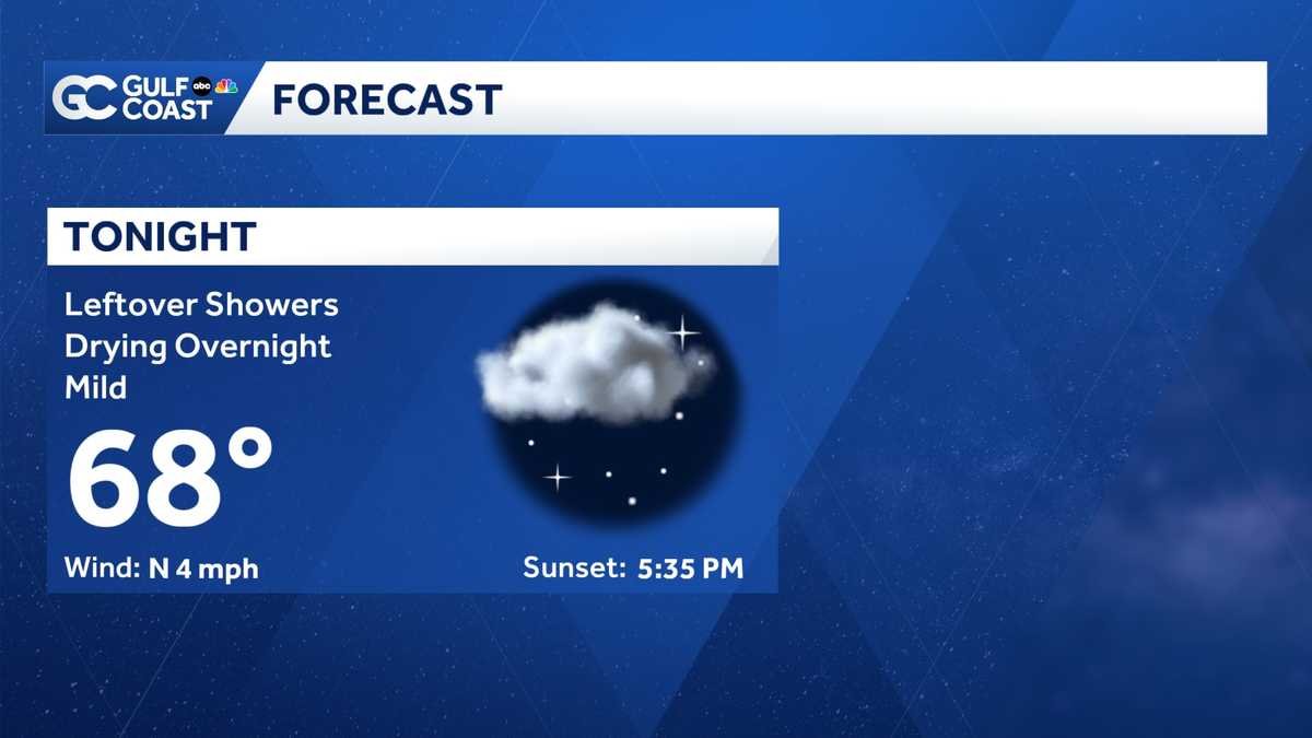
As of Saturday night, the influence of this drier air mass is becoming increasingly evident. Forecasters expect the sky to clear, allowing temperatures to drop comfortably into the upper 60s by early Sunday morning. This refreshing change is largely attributed to steady winds blowing in from the north, which are actively scouring out the lingering moisture that has kept the region damp over the past few days.
Sunday will provide a much-needed break from the rain, offering residents a mix of sun and clouds throughout the day. With the moisture levels significantly reduced, rain chances will be at a minimum, allowing outdoor plans to proceed without the threat of unexpected showers. High temperatures are expected to reach the lower 80s, providing a classic, mild Florida day.
Meteorologists anticipate that this trend of relatively dry weather will persist throughout the upcoming work week, offering stable conditions for those commuting or planning activities across the Gulf Coast. However, the period of stability is expected to be temporary. The weather team is already tracking the arrival of a new, more robust system forecast to impact the area around the Thanksgiving holiday.
This late-week system is expected to increase cloud cover and rain chances as it moves through the region. More notably, there is potential for a cold front to trail behind the initial activity, which could bring a more substantial change in temperature by Black Friday. Residents are encouraged to keep an eye on the forecast as the holiday approaches, as the exact timing and intensity of this system are still being monitored by the weather team.
As we look toward the end of the month, the region is also marking a significant milestone in the meteorological calendar: the 2024 Atlantic hurricane season is officially coming to a close in less than ten days. While the season is winding down, the Gulf Coast Weather team remains on high alert, providing continuous coverage and analysis of any remaining tropical activity.
For those planning to travel or spend time outdoors during the busy holiday week, staying informed is essential. The Gulf Coast Weather team continues to provide real-time updates through the Live Interactive Radar, available on their website and mobile app. With daily forecasts designed to help the community navigate changing conditions, the team remains committed to delivering the most accurate information as residents prepare for the Thanksgiving holiday and the final stretch of the year.
Disclaimer: This content is auto-generated for informational purposes only.
Source: Read Original News