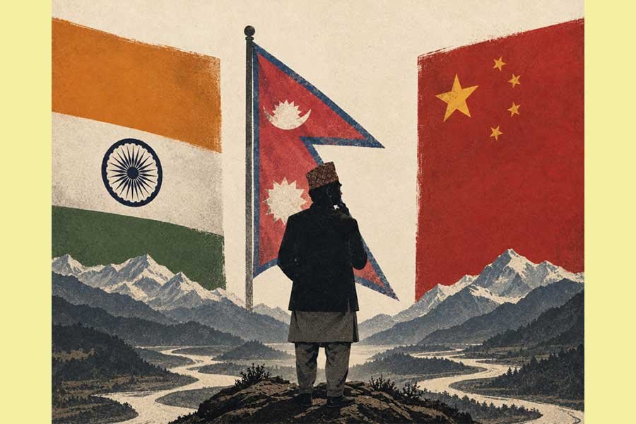









New Delhi Reaffirms Ladakh Sovereignty Amid Beijing’s Objections
NEW DELHI – In a firm diplomatic pushback against Beijing, the Ministry of External Affairs (MEA) reiterated on Tuesday that Ladakh is an “integral and inalienable” part of India. The statement follows an aggressive reaction from the Chinese Foreign Ministry, which challenged India’s recent decision to formally standardize the names of 28 geographical locations within the Union Territory on official government maps.
Asserting Territorial Integrity
MEA spokesperson Randhir Jaiswal addressed the media on Tuesday, dismissing claims made by Chinese Foreign Ministry spokesperson Mao Ning, who had labeled India’s mapping exercise as “illegal and void.” Jaiswal emphasized that no amount of diplomatic denial or rhetoric from the Chinese side could alter the historical and geographical reality of India’s sovereignty over the region.
The central government’s initiative involves the formal identification of 28 distinct features—including peaks, glaciers, mountain passes, and land areas—on the official maps produced by the Survey of India (SoI). According to the MEA, this administrative step was undertaken after thorough consultations with the administration of the Union Territory of Ladakh and various local stakeholders.
“It is reiterated that the UT of Ladakh is an integral and inalienable part of India,” Jaiswal stated. He clarified that the objective behind standardizing these names is to ensure accurate recognition of the region’s topography and to foster greater awareness among the general public regarding the specific locations of these sites.
Mapping the Geography of Ladakh
The list of 28 identified locations includes a diverse array of landmarks, ranging from glaciers and mountain peaks to river systems and strategic land areas. Notable features included in the official Survey of India update are the Atisha Giri Peak, the Parpik Glacier, the Skamri Glacier, and the Shachmirk Pass. Other sites, such as the Zorawar Peak, Rinchen Zangpo Peak, and Guru Rinpoche Lake, underscore the cultural and historical significance of the region, while areas like the Gogra Land area and the Dehra Compass Land area highlight the strategic nature of the terrain.
Officials stated that by formally cataloging these landmarks, the Government of India aims to streamline administrative records and prevent confusion regarding the geography of the high-altitude region. The exercise is seen as a move to assert control over the territory through transparent, documented, and officially sanctioned cartographic updates.
Tensions in the Borderlands
The friction over mapping is the latest development in the ongoing discourse surrounding India-China border relations. Beijing’s attempt to challenge the naming of sites within Indian territory has been consistently rejected by New Delhi, which maintains that domestic administrative decisions are the sole prerogative of the Indian government.
The Ministry of Home Affairs (MHA), which oversaw the identification process, maintains that the inclusion of these sites on the SoI map is a standard governance measure. As the standoff between the two Asian giants continues to shape geopolitical dynamics in the Himalayas, the Indian government’s insistence on formally demarcating and naming these features serves as a clear message: the sovereignty of Ladakh remains non-negotiable, and the administrative integration of the territory will continue according to India’s national standards and territorial requirements.
Disclaimer: This content is auto-generated for informational purposes only.
Source: Read Original News