









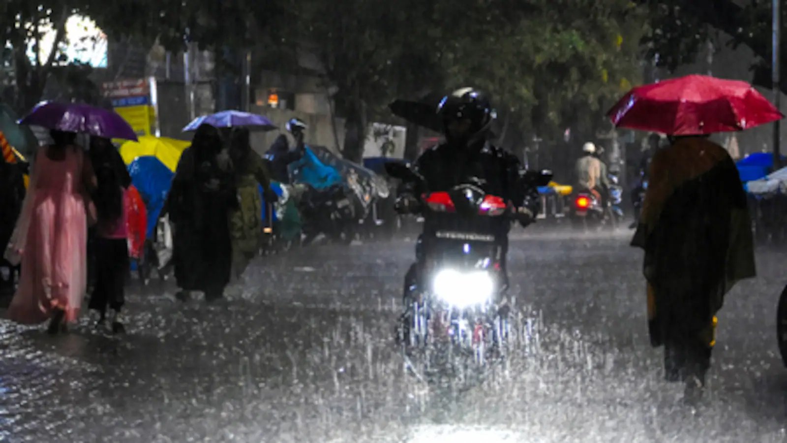
Uttar Pradesh on High Alert: Heavy Rainfall Forecast Triggers Red Alert Across Multiple Districts
The India Meteorological Department (IMD) has issued a severe weather warning for Uttar Pradesh, placing numerous districts under a ‘red alert’ as the state braces for a spell of intense rainfall over the next two days. The meteorological office has cautioned that residents should prepare for heavy to very heavy downpours, with the potential for extremely heavy rainfall in isolated pockets through September 27.
Government Mobilizes Emergency Response
In response to the alarming forecast, Chief Minister Yogi Adityanath has directed district magistrates to maintain maximum vigilance. The administration has been ordered to conduct field inspections to ensure that disaster management arrangements are fully operational. Recognizing the threat posed by potential flash floods and waterlogging, the Chief Minister has mandated the closure of schools in all districts currently under a red alert.
Furthermore, state officials have been tasked with conducting rapid damage assessments should lightning or flooding occur, with a strict directive to provide aid to affected families within 24 hours. The state government has also instructed local authorities to ensure the safety of those residing in dilapidated buildings or temporary shelters, emphasizing the need for timely relocation to government-designated relief centers.
Weather Drivers and Impact
The current weather phenomenon is attributed to a deep depression originating from the Bay of Bengal. After crossing the southern coast of Odisha, the system moved in a northwesterly direction, significantly elevating moisture levels across the plains of North India. While the system is expected to gradually weaken into a well-marked low-pressure area over the next 24 hours, its immediate impact will bring gusty winds—reaching speeds of 40-50 kmph and occasionally peaking at 60 kmph—alongside persistent thundershowers.
Meteorologists anticipate a noticeable drop in daytime temperatures, with mercury levels likely to dip by 4 to 7 degrees Celsius across the state as the monsoon remains active.
Disruptions and Public Advisory
The inclement weather has already begun to impact daily life. In Lucknow, authorities recorded over 50 mm of rainfall within a few hours on Friday, leading to overcast skies and intermittent heavy showers. The Chaudhary Charan Singh International Airport has issued a formal passenger advisory, warning travelers of potential traffic congestion across the city and urging them to allow extra time for their commute to the airport.
Other parts of the state have reported significant rainfall, with Banda receiving 146 mm and Bahraich recording over 100 mm. Relief Commissioner Dr. Hrishikesh Bhaskar Yashod is actively coordinating with district officials across a long list of vulnerable regions, including Gorakhpur, Ayodhya, Varanasi, and Kanpur, to monitor watersheds prone to flash floods.
The state government has issued a stern advisory to the public: avoid venturing outdoors during thunderstorms, stay away from water bodies, and refrain from seeking shelter under trees or in parks during lightning strikes. With the weather expected to remain turbulent through September 27, district administrations have been granted the authority to shut down non-essential services to prioritize public safety.
Disclaimer: This content is auto-generated for informational purposes only.
Source: Read Original News