








UK Weather Warning: A Month’s Worth of Rain to Trigger Flooding Across the Country
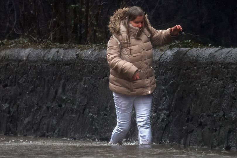
Millions of people across the UK are on high alert as the Met Office warns that severe thunderstorms are set to unleash a month’s worth of rainfall in just a matter of hours. With 16 official flood alerts already in place, authorities are urging residents to prepare emergency kits as the nation braces for widespread disruption.
Severe Storms and “Extreme” Rainfall
The forecast paints a grim picture, with yellow thunderstorm warnings spanning from Wales and the Midlands through to East Anglia and the Southeast of England. Meteorologists expect the storms to be particularly intense, projecting between 20mm and 30mm of rain within a three-hour window. In some localized areas, this figure could skyrocket to 50mm over a 12-hour period, with a small chance of exceeding 75mm—levels that effectively represent an entire month’s worth of precipitation in regions like Birmingham and Nottingham.
The current warnings remain in effect throughout today and will roll into tomorrow, with specific alerts covering parts of London and the Southeast between 2:00 am and 8:00 am, and a broader window for the Midlands, Yorkshire, and Wales from 6:00 am to 10:00 pm.
Potential for Infrastructure Damage
The Met Office has cautioned that the extreme nature of these storms could result in more than just localized flooding. Residents are being warned of potential power cuts, lightning strikes, and damaging hail. Additionally, high winds accompanying the storms may pose a risk to unsecured outdoor structures.
“Prepare to protect your property and people from injury,” the Met Office advised. “Before gusty winds arrive, check to ensure moveable objects or temporary structures are well secured—this includes bins, garden furniture, trampolines, tents, and gazebos.”
Emergency Preparedness
With travel chaos likely, the authorities are advising the public to check road conditions and public transport timetables before setting out. For those at high risk of property flooding, the official recommendation is to assemble an emergency kit, which should include:
- Non-perishable food and bottled water.
- A first aid kit.
- A torch, spare batteries, and a portable power bank.
- A fully charged mobile phone.
Regions at Risk
The majority of the 16 current flood alerts are concentrated within the Midlands, targeting key waterways and urban tributaries. These include:
- West Sussex: Aldingbourne and Barnham Rifes, Scrase Bridge and West Common Streams.
- East Sussex: Hastings Blacklands, Hollington Stream, Polegate and Wannock.
- Nottinghamshire: River Leen, Day Brook, Tottle Brook, River Maun, and River Trent Tributaries.
- West Midlands & Warwickshire: River Cole, River Blythe, Upper Tame (at Sandwell Valley and elsewhere), and River Stour and Smestow Brook.
- Leicestershire: Loughborough urban watercourses and tributaries to the River Soar.
As the storms develop, officials advise residents to stay tuned to local news and follow the guidance of the Environment Agency to ensure safety during what is expected to be a volatile 24 hours of weather.