






India Backs UN Resolution for Accurate Global Mapping, Clarifies Stand on Sovereignty
In a significant move at the United Nations, India joined 163 other nations on September 4 to support a resolution aimed at reforming global cartographic representation. Titled “Correct the Map: Rebalancing Global Cartographic Representation and Promoting Equitable Representation of the World’s Regions, Particularly Africa,” the initiative seeks to move away from traditional map projections that disproportionately distort the physical scale of continents.
The resolution highlights a growing international consensus that common cartographic practices, particularly the long-standing reliance on the Mercator projection, have inadvertently fostered a skewed perception of global geography. While the Mercator projection has been a staple in classrooms, media outlets, and official government documentation for generations, critics argue that it causes massive distortions. By stretching landmasses further from the equator, the map diminishes the perceived size of critical regions, including Africa, Latin America, and South Asia.
Addressing Cartographic Bias
The UN resolution expresses deep-seated concern that these historical distortions perpetuate an unbalanced view of the world’s regions. By promoting the use of “equal-area” map projections, the UN aims to provide a more representative and accurate depiction of the earth’s surface. Proponents of the resolution argue that adopting such standards is a necessary step toward decolonizing geographical narratives and ensuring that the Global South is portrayed with greater accuracy in both digital and physical materials.
India’s support for the resolution was underscored by a focus on the spirit of the proposal rather than a shift in territorial policy. While the motion passed with overwhelming support, it was not without dissent or hesitation. The United States cast the sole vote against the resolution, while countries including Ukraine, Serbia, Georgia, Lithuania, Moldova, and Estonia opted to abstain.
India’s Diplomatic Clarification
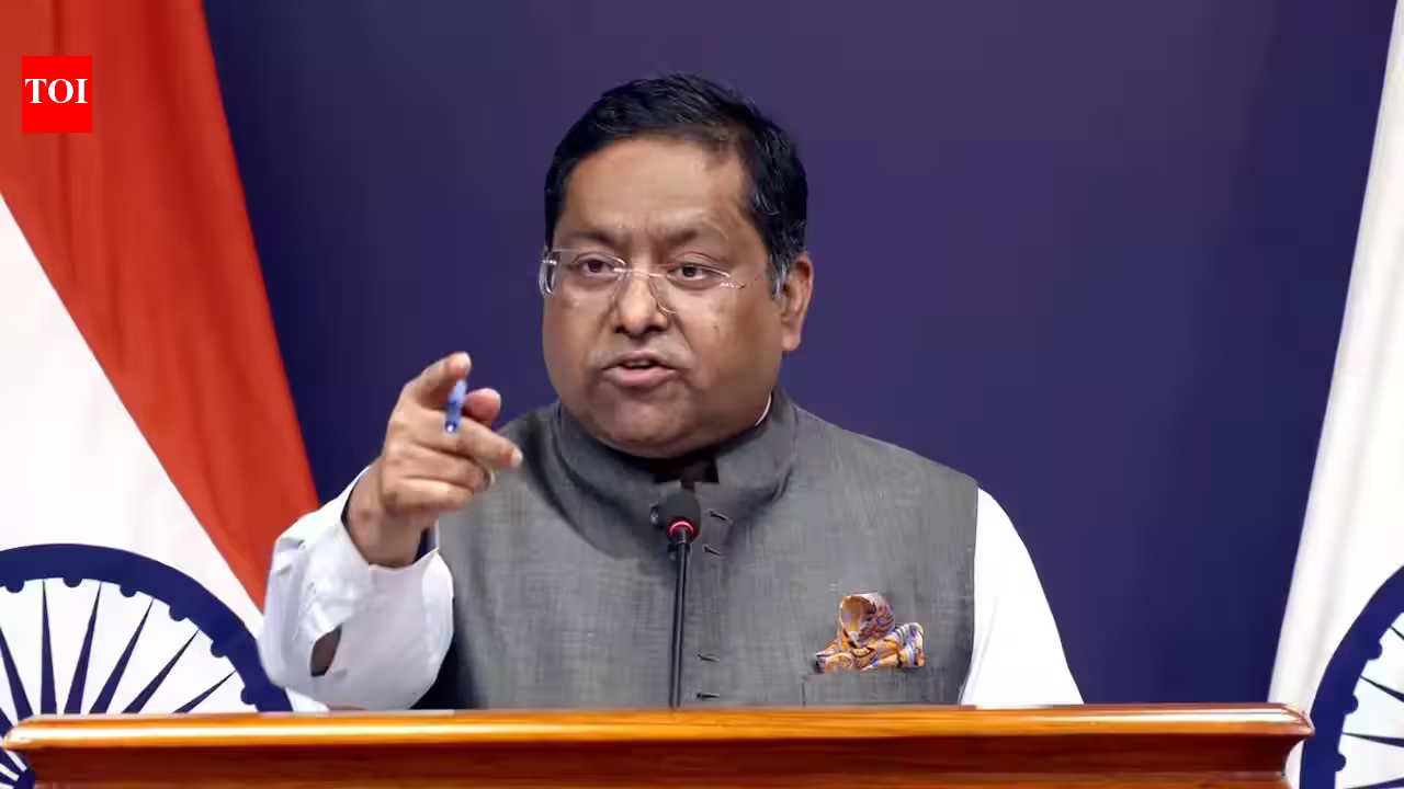
Recognizing the sensitivity surrounding international borders and sovereignty, the Indian Ministry of External Affairs (MEA) moved quickly to contextualize its vote. MEA spokesperson Randhir Jaiswal emphasized that India’s endorsement was rooted in the principle of equitable cartographic representation and should not be interpreted as a blanket acceptance of any specific map or boundary depiction.
“India voted in favour of the resolution and also made an explanation, stressing the underlying principle of promoting equal-area cartographic representation,” Jaiswal stated. He clarified that the resolution is purely technical in its goal to address geographical distortion. “We also highlighted that the resolution does not constitute endorsement of any specific map, projection, or depiction of national boundaries,” the spokesperson added.
The government’s statement serves as a vital safeguard, ensuring that the push for better map accuracy does not inadvertently legitimize disputed territories or influence the status of international boundaries. By focusing on the scientific and educational merits of equal-area projections, India has aligned itself with global efforts to improve geographic literacy while maintaining a firm stance on its own sovereign integrity. As the UN moves forward with these new guidelines, the focus will likely shift to how international institutions, textbook publishers, and digital platforms adapt their tools to reflect a more balanced world.
Disclaimer: This content is auto-generated for informational purposes only.
Source: Read Original News