








India Backs UN Resolution for New World Map, Issues Strong Clarification on Territorial Integrity
The Ministry of External Affairs (MEA) issued a definitive clarification on Sunday regarding the sovereign boundaries of India, following the country’s decision to support a United Nations General Assembly resolution that adopts a new “equal-area” world map. The move, championed by a coalition of African nations, aims to shift away from the traditional Mercator projection in favor of a map that provides a more accurate representation of continental landmasses.
New Cartographic Standards and India’s Stance
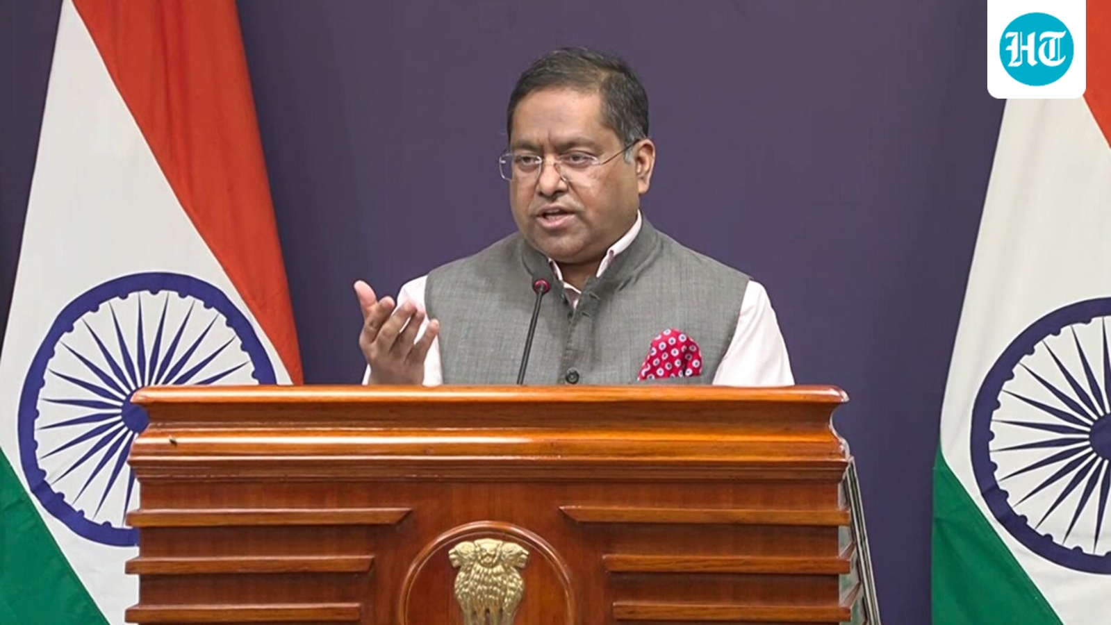
The resolution, which passed with an overwhelming majority of 164 countries, seeks to rectify long-standing cartographic distortions where landmasses near the poles appear significantly larger than those near the equator. While India lent its support to the initiative, MEA spokesperson Randhir Jaiswal emphasized that the vote was rooted in the principle of promoting fair cartographic representation rather than an endorsement of any specific depiction of national borders.
“We have clearly highlighted that this resolution does not constitute an endorsement of any specific map, projection, or depiction of national boundaries,” Jaiswal stated. He further underscored that for New Delhi, the primary concern remains the accurate reflection of its sovereign territories.
“India’s sovereign territory, including the Union Territories of Jammu and Kashmir and Ladakh, must be depicted in accordance with India’s official map. Any inaccurate or misleading depiction is unacceptable. Our position on India’s sovereignty and territorial integrity is clear, consistent, and non-negotiable,” the spokesperson added.
Moving Beyond the Mercator Projection
The decision to adopt the new map follows decades of criticism directed at the 16th-century Mercator projection. Designed in 1569 to assist European maritime navigation, the Mercator map has been widely disparaged for its extreme scale distortions. Most notably, it depicts Africa as being roughly the same size as Greenland, despite the African continent being approximately 14 times larger in reality.
Because a spherical globe cannot be perfectly flattened onto a two-dimensional surface without distortion, mapmakers have long debated how to balance shape, area, and distance. The “equal earth” map, developed in 2018, was championed by the African Union—which sought a more equitable visual representation of its member states—and was formally introduced to the UN by Togo.
Togolese Foreign Minister Robert Dussey, reflecting on the vote, noted that while altering a map does not physically change the world, correcting a distorted representation is an important step toward global accuracy and truth.
A Diplomatic Balancing Act
India’s vote aligns with its broader policy of supporting African Union initiatives, a partnership that recently saw New Delhi play a pivotal role in the inclusion of the African Union into the G20. By supporting the UN resolution, India has signaled its commitment to a more inclusive international order. However, the MEA’s prompt clarification serves as a diplomatic safeguard, ensuring that the global shift in cartography is not interpreted as an opening for international bodies or third parties to misrepresent India’s internal administrative boundaries.
While the United States voted against the resolution—arguing that the international community should prioritize addressing “genuine” global problems over geographic depictions—the overwhelming support for the move reflects a growing desire among developing nations to reshape the visual narrative of the global map. For India, the transition represents a victory for fair representation, provided that the sanctity of its national borders remains central to any new world view.
Disclaimer: This content is auto-generated and paraphrased.
Source: Read Original News