








India Launches First Imaging Satellite Operating from Geosynchronous Orbit
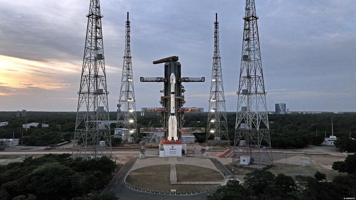
The Indian Space Research Organisation (ISRO) has achieved a significant milestone in its national space program with the successful launch of EOS-05, the country’s premier imaging satellite engineered specifically for operations within a geosynchronous orbit. The mission commenced at the Satish Dhawan Space Centre in Sriharikota, where the spacecraft was lofted into the skies atop the GSLV-F17 launch vehicle. Weighing approximately 2,367 kilograms, the satellite represents a leap forward in space technology and observational capabilities, marking a departure from traditional low-earth orbit imaging systems. According to mission parameters, the three-stage rocket performed flawlessly throughout its ascent, successfully deploying the payload into a Sub-Geosynchronous Transfer Orbit approximately 18 minutes after liftoff. This precise orbital insertion is a testament to the growing technical proficiency of the Indian aerospace sector and its ability to conduct complex, high-stakes missions.
This strategic deployment provides India with a persistent monitoring platform that remains fixed relative to a specific point on the Earth’s surface, a capability that is vastly different from satellites that rapidly circle the globe. By maintaining a constant view of the Indian subcontinent, EOS-05 is positioned to provide critical data that was previously fragmented or subject to long intervals between passes. This continuous observation is particularly vital for the real-time tracking of severe weather phenomena, such as cyclonic developments and rapid environmental changes, which require constant surveillance for accurate forecasting and disaster management. Furthermore, the ability to maintain a steady gaze over specific regions enhances the country’s capacity to monitor remote border areas and protect strategic infrastructure, effectively acting as an orbital sentinel.
The introduction of this geosynchronous imaging platform is expected to bolster the efficiency of civilian, environmental, and defense-related operations. By integrating advanced sensors into a stable orbit, the agency aims to streamline the flow of high-resolution imagery and data, facilitating better decision-making processes for agricultural monitoring, forestry management, and regional security. As the satellite enters its operational phase, the data harvested will undergo rigorous analysis, feeding into existing national infrastructure frameworks to improve disaster response and resource mapping. The successful launch of EOS-05 reinforces the nation’s commitment to advancing its domestic satellite constellation, ensuring that both scientific research and national security interests are supported by the most capable and technologically sophisticated assets available in the current global landscape.
Source: Read Original News