








BAKER COUNTY, Fla. and CAMDEN COUNTY, Ga. — Emergency officials in North Florida and Southeast Georgia are bracing for the arrival of Hurricane Isaias, warning that already saturated ground from a stalled frontal system could trigger rapid, life-threatening flooding if additional rain bands sweep through the region.
While current projections suggest the storm’s center may stay west of the immediate area, local authorities remain on high alert. Days of relentless rainfall have already dropped between five and nine inches in some parts of North Florida, overwhelming drainage systems and leaving the soil unable to absorb further moisture.
Florida Governor Ron DeSantis has declared a state of emergency for several counties, including Baker and Columbia. The executive order highlights the precarious situation, noting that elevated water levels and waterlogged terrain have set the stage for severe flash flooding.
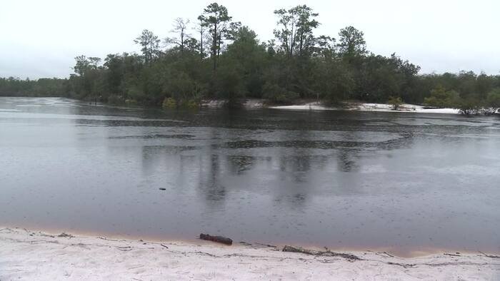
Baker County Emergency Management Director John Blanchard reported that the impact is already visible on the ground. “Smaller cars are having a hard time going up and down them. Some of them are even getting stuck,” Blanchard said, referring to roadways struggling to handle the drainage. He pointed to the St. Marys River as a primary concern, urging residents in low-lying or flood-prone areas to finalize their safety preparations immediately. “If you’re subject to flooding, please make preparations. Now… today is really the day to do that,” he added.
Across the state line, Georgia Governor Brian Kemp has issued a statewide state of emergency as the region prepares for the storm’s potential wind, rain, and tornado threat. While Camden County has not yet declared its own local emergency, Emergency Management Agency Director Chuck White confirmed that his team is operating in an “all hands on deck” capacity.
White noted that the combination of heavy rainfall and tidal influence has severely hampered the area’s ability to drain water. Furthermore, he warned that tropical systems of this nature frequently carry the threat of sudden tornado spin-ups, adding another layer of danger to the expected inclement weather.
“All hands on deck making sure that we’re staying safe for the traveling public,” White said, noting that while the state order provides a necessary framework for rapidly deploying resources, local vigilance remains the most effective tool for survival.
Emergency managers in both states are urging citizens to avoid driving through flooded roadways, as even shallow-looking water can conceal road washouts or currents strong enough to sweep away vehicles. Residents are encouraged to monitor local alert systems closely and stay connected to official news sources for the latest updates on Hurricane Isaias’s trajectory. With the ground already pushed to its limit, officials agree that the margin for error is slim, and safety must remain the top priority as the system approaches.
Disclaimer: This content is auto-generated for informational purposes only.
Source: Read Original News