








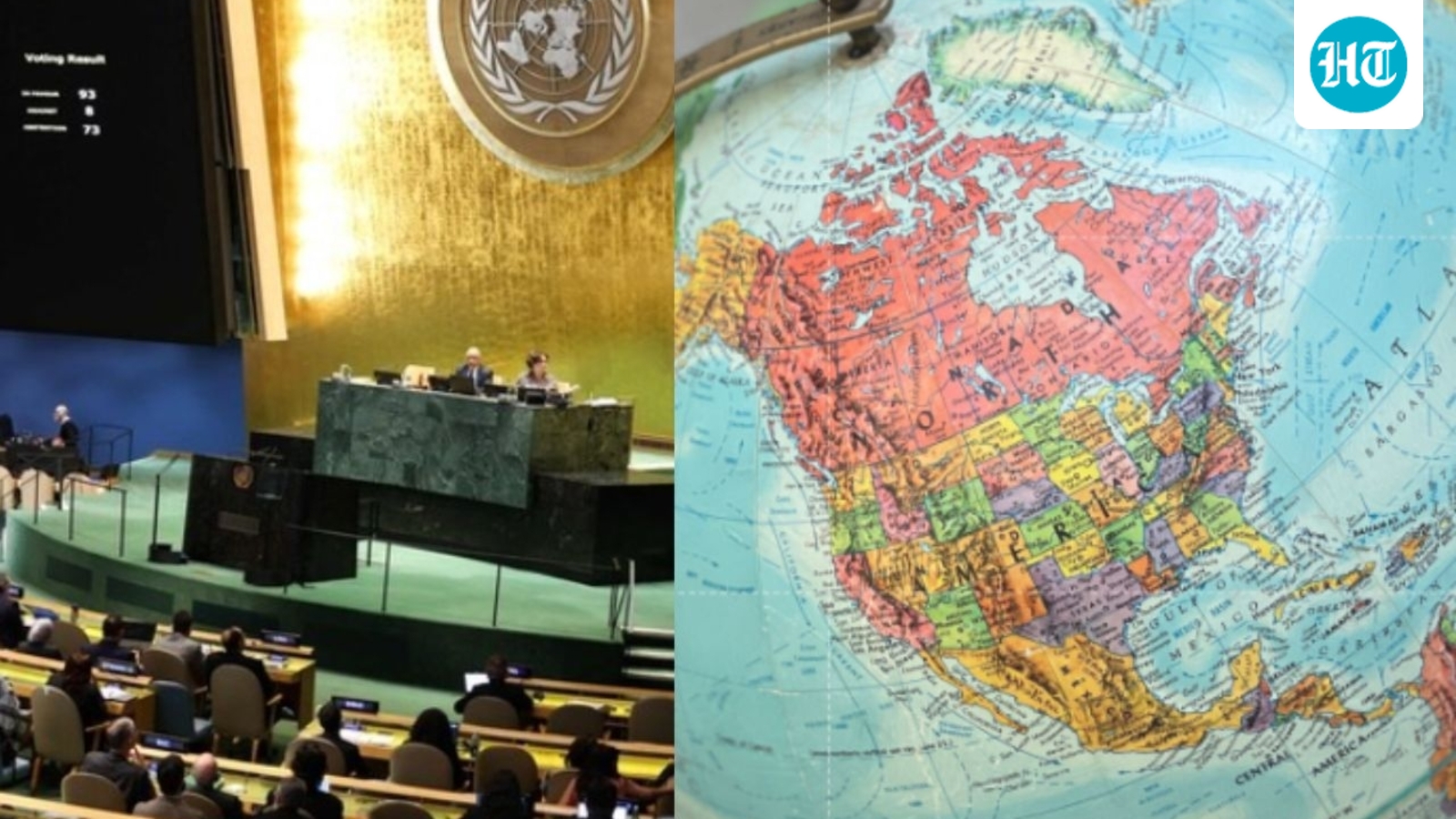
UNITED NATIONS — The United Nations General Assembly voted overwhelmingly on Friday to adopt a new global cartographic standard, marking a historic shift away from the centuries-old Mercator projection in favor of the “Equal Earth” map. The resolution, which passed with 164 votes in favor, aims to correct long-standing geographic distortions that have historically inflated the perceived size of Northern Hemisphere nations while shrinking the African and South American continents.
The adoption of the Equal Earth projection represents a significant victory for proponents of “cognitive justice,” who argue that traditional maps have silently reinforced geopolitical biases for generations. By accurately reflecting the relative surface areas of landmasses, the new map gives Africa, Latin America, South Asia, and Oceania their true visual prominence.
Togo, the primary sponsor of the resolution, championed the shift as a necessary step toward decolonizing the way the world is perceived. Togolese Foreign Minister Robert Dussey emphasized that maps are far from neutral tools. “They guide education, nourish the imagination, and influence collective perceptions,” Dussey stated during the proceedings. “When they present a distorted image of our planet, they risk perpetuating inaccurate representation that is passed down through generations.”
The move was met with immediate, sharp opposition from the United States, which cast the lone dissenting vote. Six other nations chose to abstain. U.S. representative Yaryna Ferencevych decried the resolution as an example of the United Nations losing its institutional focus. “Instead of focusing on genuine problems, this body is debating map projects from the 16th century and their role in promoting reparations and cognitive justice,” she said, labeling the initiative a distraction from more pressing global crises.
The Mercator projection, created in 1569 to aid maritime navigation, has long been criticized for its inherent geometric trade-offs. While it preserves the shapes and angles of landmasses, it catastrophically distorts their scale; regions near the poles appear vastly larger than those near the equator. Under this old system, Greenland often appears roughly the same size as Africa, despite Africa being 14 times larger in reality.
France, a co-sponsor of the resolution, confirmed it would immediately begin phasing out the Mercator projection in its own educational and governmental materials. French Foreign Minister Jean-Noel Barrot argued that correcting the map is an “act of truth,” particularly as France seeks to recalibrate its diplomatic relations with former colonies in Africa. “Changing maps obviously doesn’t change the world,” Barrot noted, “but correcting a distorted representation is a start.”
Developed by a team of cartographers and launched in 2018, the Equal Earth projection seeks to balance the challenge of representing a three-dimensional sphere on a two-dimensional plane. Cartographer Bojan Savric, a key architect of the project, has described the map as one that preserves the relative surface areas of continents while maintaining a shape that aligns as closely as possible with the visual reality of a globe.
Disclaimer: This content is auto-generated for informational purposes only. It has been rewritten and paraphrased from the original source.
Source: Read Original News