







Thunderstorm Warnings Issued Across UK Amid Flash Flood Concerns After Prolonged Dry Spell
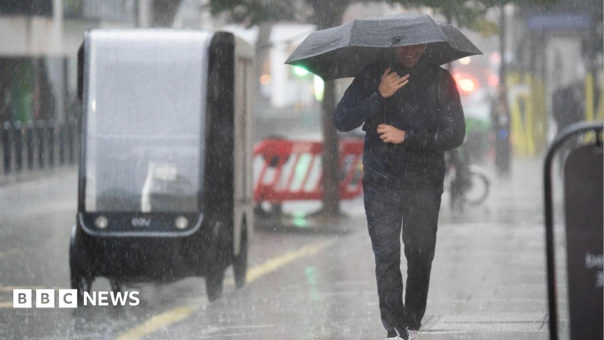
The UK is bracing for widespread disruption as the Met Office issues "yellow" thunderstorm warnings across swathes of the country, forecasting heavy downpours that could trigger flash flooding and significant travel delays. This abrupt shift in weather follows an extended period of exceptionally dry conditions, with some regions experiencing their first rainfall in weeks just yesterday.
The warnings will progressively come into effect across northern England, Northern Ireland, and eastern Scotland from later today, Wednesday. The alert for northern England is set to persist until Thursday morning, indicating a prolonged period of unsettled weather.
The Met Office has advised residents in affected areas to prepare for potential flooding of homes and businesses, disruptions to transport services, and the likelihood of power outages. The "yellow" status signifies a moderate likelihood of impact, urging the public to be aware and take precautions.
Specific Warning Timelines and Regions:
- Northern Ireland: From 12:00 BST until 23:59 BST on Wednesday.
- Parts of North East Scotland (including Aberdeen): From 14:00 BST until 21:00 BST on Wednesday.
- Parts of Northern England (including Manchester and Newcastle upon Tyne): From 19:00 BST on Wednesday until 10:00 BST on Thursday.
Forecasters predict that these regions will experience lightning, hail, and thunder. Rainfall accumulation could be substantial, with up to 30mm expected within a few hours in parts of North East Scotland and across Northern Ireland. Northern England, particularly vulnerable, could see even more intense downpours, with up to 50mm of rain possible within a six-hour window.
While much of the rest of the UK will experience a mix of sunshine and scattered showers on Wednesday, the south is expected to see less intense and more localised rainfall.
This dramatic change in weather patterns arrives on the heels of what is shaping up to be one of the warmest summers on record. The national weather service has indicated that this summer is likely to be the hottest on record, having already seen five heatwaves.
The prolonged dry spell has led to severe water scarcity concerns across the UK. Drought officials have declared 71.3% of England to be in a state of drought, with parts of eastern Scotland also grappling with significant water shortages.
While the return of rain might seem like a welcome relief to parched regions, the Environment Agency has cautioned that "sustained and significant rainfall" will be required to truly alleviate the ongoing drought conditions.
The concern with heavy, sudden downpours in such circumstances is the heightened risk of flash flooding. The exceptionally dry and compacted ground, a direct consequence of the recent drought, becomes highly water-repellent. This significantly reduces absorption rates, leading to increased surface runoff and a greater propensity for rapid flooding, even with moderate rainfall. Residents are advised to monitor local weather updates and take appropriate safety measures during this period of unpredictable weather.