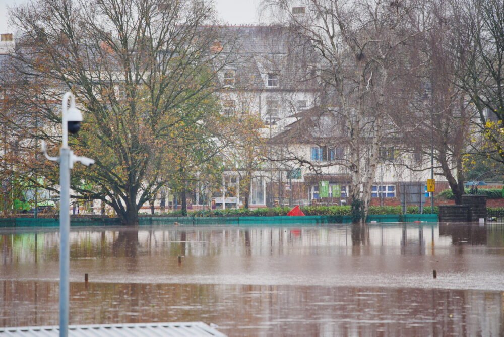










Prince Edward Island remains under a comprehensive rainfall warning as a powerful weather system continues to batter the province with torrential downpours and high-velocity winds. The storm, which began late Thursday night, has triggered flash flooding across various municipalities, disrupted transportation, and compromised the local power grid.
According to data provided by CBC meteorologist Jay Scotland, the rainfall totals have been significant, with the hardest-hit areas receiving well over 100 millimetres of precipitation. Between Thursday night and Saturday morning, Summerside recorded between 93 and 114 millimetres of rain, while Bonshaw bore the brunt of the deluge, logging an Island-high 127 millimetres.
The intense weather has resulted in hazardous infrastructure conditions. Local authorities have been forced to close South Greenwood Drive in Summerside, extending from Notre Dame Street, until further notice due to severe flash flooding. The Royal Canadian Mounted Police (RCMP) have reported numerous fallen trees throughout the province, creating additional dangers for commuters. Maritime Electric reported that at the peak of the storm, as many as 1,500 customers were without power. While repair crews have been working to restore service, approximately 378 customers remained in the dark as of 11:30 a.m. Saturday.
The impact of the system extends beyond land-based travel and electricity. Sustained strong winds, which reached gusts between 50 and 80 km/h across the province over the past 24 hours, forced the cancellation of all ferry crossings between Wood Islands, P.E.I., and Caribou, N.S., for the duration of Saturday. The peak wind intensity was recorded in East Point, where gusts reached 89 km/h on Friday night.
Environment Canada’s outlook suggests that the province is not yet out of the woods. Forecasters anticipate an additional 20 to 40 millimetres of rainfall throughout Saturday, which will likely exacerbate existing flooding concerns. Public safety officials are urging extreme caution; Environment Canada has issued a stern reminder for drivers to never attempt to navigate through flooded roads, as the depth of water and the stability of the road surface beneath can be deceptive.
A shift in weather patterns is expected to arrive on Sunday, though conditions will remain volatile. While the intensity of the rainfall is slated to decrease, northerly winds will persist, with gusts potentially reaching up to 70 km/h. Meteorologists expect a more significant improvement in the weather by Sunday night into early Monday, as wind speeds finally begin to ease and the persistent showers taper off.
Residents are advised to monitor local updates and emergency alerts as the cleanup process begins and crews work to address the damage caused by the storm. As the province recovers from the weekend’s events, infrastructure assessments will be ongoing to ensure the safety of transit routes and electrical stability.
Disclaimer: This content is auto-generated for informational purposes only. It has been rewritten and paraphrased from the original source.
Source: Read Original News