









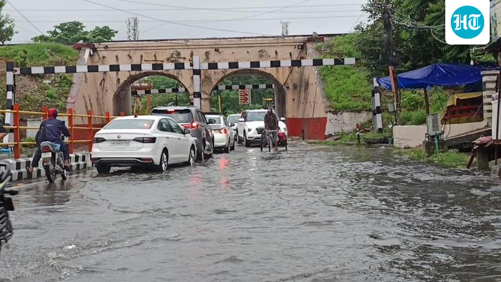
Heavy Rains Paralyze Uttarakhand: 136 Roads Blocked, Rivers Surge Past Warning Levels
Uttarakhand is grappling with severe weather conditions as intense rainfall over the past 24 hours has triggered widespread landslides, boulder falls, and a significant rise in water levels across major river systems. The state’s infrastructure has been severely impacted, with 136 roads currently reported as closed, severing connectivity in several hill districts and foothill regions.
Infrastructure and Connectivity Disrupted
The state disaster management assessment indicates that Chamoli has been the hardest hit, with 25 road closures reported. Pauri follows closely with 22 blocked routes, while Pithoragarh has documented 18 closures. The impact is widespread, affecting transport networks in Nainital, Almora, Tehri, Dehradun, and Uttarkashi, leaving local administrations scrambling to clear debris and restore access to remote communities.
According to the India Meteorological Department (IMD), the state experienced a 13% overall rainfall surplus, with specific regions receiving disproportionately high downpours. Chamoli saw a staggering 382% increase in expected rainfall, while Bageshwar recorded 27.8mm of rain—a 292% deviation from its daily normal.
River Systems on High Alert
The torrential rain has forced major rivers to breach their warning thresholds, triggering anxiety in low-lying settlements and villages situated downstream of hydroelectric projects. In Pithoragarh, the Dhauliganga, Gauri Ganga, and Kali rivers have all surpassed their warning marks.
Authorities have issued specific alerts for the Jhulaghat region following reports from Nepal regarding potential obstructions on the Chamelia River, which flows into the Kali. Local officials, including the Sashastra Seema Bal (SSB) and Indo-Tibetan Border Police (ITBP), have been put on high alert to manage potential flood risks.
Similar concerns have emerged in Nainital, where the Kosi River has crossed its warning threshold, and in Haridwar, where the Banganga River remains precariously close to the danger mark. In Rudraprayag, the situation necessitated a controlled release of water from the Kund Barrage, prompting the district administration to restrict all riverbed activities and livestock grazing near the Mandakini riverbanks.
Dam Operations and Ongoing Vigilance
With inflows surging, several barrages and dams are managing heavy outflows. The Bhimgoda Barrage in Haridwar is discharging over 1,13,000 cusecs, while the Ichari Dam near Vikasnagar is operating near its capacity, sitting just five centimeters below its danger level. Although the Sharda River in Champawat has begun to recede, District Magistrate Manish Kumar has directed officials to remain vigilant regarding soil erosion in sensitive areas.
IMD Forecast and Safety Warnings
The IMD’s Dehradun centre has issued a yellow alert for the state through September 9. While the forecast predicts light to moderate showers, isolated areas in Dehradun, Haridwar, Bageshwar, Nainital, Pauri, and Chamoli are expected to receive heavy rainfall accompanied by lightning and thunderstorms.
Disaster management authorities have advised residents in vulnerable areas to stay updated with official bulletins and maintain a safe distance from riverbanks. Commuters have been cautioned against non-essential travel in the hills, given the persistent threat of landslips and shifting soil conditions.
Disclaimer: This content is auto-generated and paraphrased.
Source: Read Original News