New data shows widespread low flows and growing risks to wildlife across riverways.
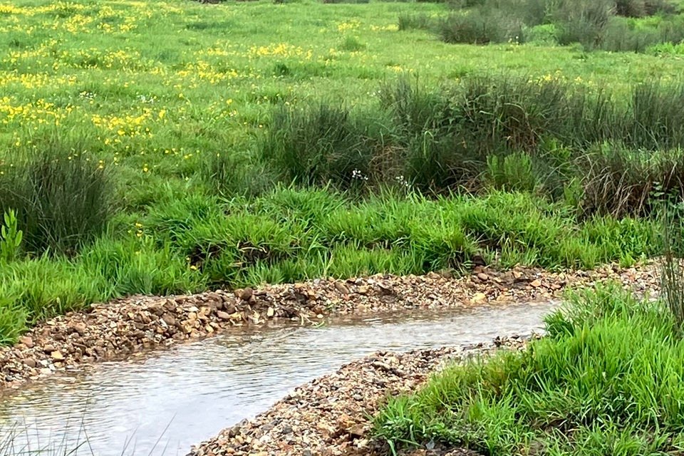
Environment Agency monitoring for May shows river flows across much of the region have fallen sharply, and are what the organisation calls “exceptionally low”.
At most monitoring sites, flows are now classed as below normal, notably low, or exceptionally low, with only two locations maintaining typical levels for the time of year, Heacham and Burn.

Among the worst hit are the River Yare at Colney, the Bure at Ingworth, the Waveney, and the Wissey, which all recorded at exceptionally low levels in May.
Experts have warned that the consequences are already being felt across fragile river ecosystems.

Sarah Eglington, policy and campaigns officer for Norfolk Wildlife Trust, said the figures should act as a “stark reminder” of the growing pressures facing local waterways.
Dr Eglington said: “Low river levels are not simply a symptom of dry weather – they can have serious consequences on the health of our rivers and the wildlife that depends on them.
“When river flows are exceptionally low, there is less water to dilute pollution, water temperatures rise, and oxygen levels fall.

“This creates difficult conditions for fish, water voles, otters and many of the insects and plants that form the foundation of healthy river ecosystems.
“While periods of dry weather are a natural part of our climate, climate change is making these extremes more frequent and intense.”
At the same time, soil moisture deficits have surged above seasonal norms, which means rainfall is more likely to be absorbed into dry ground rather than replenishing the rivers.

The Environment Agency’s data shows the river flow at the Waveney has dropped as low as 29pc of the long-term average.
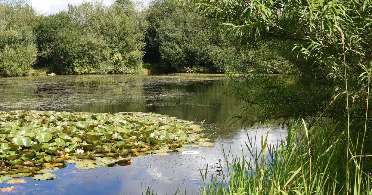
Along the river, early signs of stress are already emerging in upper stretches.
Martha Meek, director of the River Waveney Trust, said conditions had deteriorated during the recent spell of hot, dry weather.

Ms Meek said: “Low river levels, combined with slow-moving, polluted and warmer waters, can have a devastating impact on fish and other aquatic wildlife.
“This is because warm water cannot hold enough oxygen for survival, and no oxygen from the air mixes with the slow-flowing river water.
“If the public sees distressed fish at the surface of the river, always call the Environment Agency Incident Hotline immediately, as they can re-oxygenate the river water in an emergency.”

The report also highlights how quickly conditions have deteriorated.
River flows across East Anglia fell sharply compared with April, following months of sustained rainfall deficits, with cumulative totals over the past three months classed as “exceptionally low” across all catchments.

Officials responsible for the Broads say the region’s unique geography makes it especially vulnerable to fluctuating water levels.
A Broads Authority spokesman said maintaining sufficient water levels is critical for both navigation and nature.
He said: “The Broads Authority supports its partners, such as the Environment Agency, in monitoring river levels across the Broads system.

“Due to the geography of the area, and the fact that the Broads is a tidal river system, it is very susceptible to swings in water levels due to the atmospheric conditions, recent weather conditions, mainly precipitation, and the tides themselves.
“The authority undertakes regular dredging in the Broads area to maintain sufficient water depths for navigation to meet our waterways specifications.
“If boaters are concerned about low water levels in a particular area, they can get in contact with us to help build a better picture of how the system is being affected.”