








New Delhi Dismisses Pakistan’s Objections Over Global Cartographic Shift
NEW DELHI – The Indian Ministry of External Affairs (MEA) has firmly rebuffed recent diplomatic posturing from Islamabad regarding the territorial integrity of India, labeling Pakistan’s latest comments on the status of Jammu and Kashmir as “baseless and repetitive.”
The friction follows a landmark vote at the United Nations last Friday, where 164 member nations—including India—supported a resolution advocating for a shift in global cartographic standards. The resolution promotes the adoption of the “Equal Earth” projection, a method designed to provide a more proportional representation of continental landmasses, moving away from the traditional Mercator projection that has been the global standard since the 16th century.
Reaffirming Sovereignty in the Face of Cartographic Change
While the resolution focuses on objective geographic accuracy, the Indian government issued a swift clarification on Sunday to preempt any misinterpretation regarding its borders. The MEA statement underscored that the UN’s move toward the Equal Earth projection does not equate to an endorsement of any specific depiction of political boundaries.
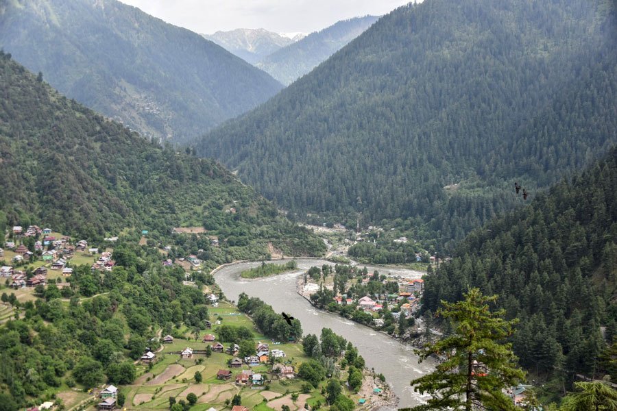
Crucially, the MEA reaffirmed that India’s official maps, which categorically include the Union Territories of Jammu, Kashmir, and Ladakh as integral parts of the nation, remain the definitive benchmark for its territorial sovereignty. Officials in New Delhi noted that any international representation of the globe that deviates from India’s official borders is considered “unacceptable” and does not alter the domestic or legal reality of those regions.
The Indian government’s stance serves as a firm reminder to the international community that its internal administrative boundaries are non-negotiable, regardless of changes in global map-making standards or the political rhetoric emanating from Islamabad.
Islamabad’s Continued Diplomatic Rhetoric
In response to the MEA’s clarification, Pakistan’s Foreign Office (FO) spokesperson, Sajjad Haider Khan, attempted to challenge India’s sovereign position. In a statement issued on Monday, the FO reiterated historical, and long-rejected, claims that the territory remains a “disputed” entity under international law.
Islamabad’s narrative continues to lean on decades-old, non-binding UN language, insisting that the status of the region must be resolved through mechanisms that New Delhi has long since moved past. By framing the shift in map projections as a broader commentary on territorial sovereignty, the Pakistani administration seeks to keep the Kashmir issue relevant on the global stage—an effort that Indian diplomats have consistently countered by emphasizing that the issue is entirely an internal matter.
Global Context of the UN Resolution
The shift toward the Equal Earth projection has sparked debates far beyond South Asia. Supporters argue that the traditional Mercator map, which significantly enlarges northern latitudes while shrinking Africa and South America, carries a legacy of historical and geographic bias.
However, the transition has not been without its critics. The United States has voiced strong opposition to the resolution, with Washington characterizing the UN’s preoccupation with map projections as a sign of the institution’s waning focus on substantive global issues. Despite the resistance from some Western powers, the overwhelming support from 164 nations suggests a widespread desire for a re-evaluation of how the world is visualized.
For India, the primary objective remains clear: while the world may adopt new ways to display the globe, New Delhi maintains that the legal and constitutional status of Jammu, Kashmir, and Ladakh remains exclusively within its sovereign jurisdiction.
Disclaimer: This content is auto-generated for informational purposes only.
Source: Read Original News