







Wales Braces for Widespread Thunderstorms as Bank Holiday Disruption Continues
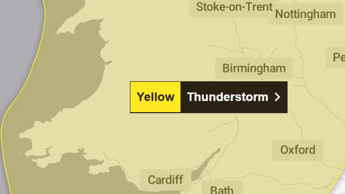
The Met Office has issued a country-wide yellow weather warning for Wales, signaling a volatile end to the summer holidays as a series of storms continues to batter the region.
The latest alert, which covers the entirety of Wales, is effective from midday on Sunday until 11:59 p.m. Forecasters are warning the public to prepare for heavy, thundery downpours, frequent lightning, and gusty winds that threaten to disrupt travel and outdoor plans during this final bank holiday of the summer.
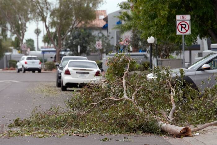
This warning follows a weekend of severe weather that has already impacted festivities across the country. On Saturday, flash flooding caused significant chaos in parts of Bridgend, where onlookers captured the dramatic moment water poured through the ceiling of a local McDonald’s restaurant.
What to Expect
According to the Met Office, the unsettled conditions are expected to move into Wales from the southwest later on Sunday morning before intensifying throughout the afternoon. While some areas may be spared the worst of the weather, others are at risk of significant rainfall.
“Where showers do occur, 10-15mm of rain is possible in less than an hour, with 30-40mm possible over several hours,” the agency reported. In addition to the risk of localized flooding to homes and businesses, the storm brings additional hazards, including hail, frequent lightning strikes, and wind gusts reaching 35-45mph.
Travel and Safety Advice
Transport authorities are urging motorists to exercise extreme caution. Driving conditions are expected to be hazardous due to spray, standing water, and potential hail accumulation, which may lead to longer journey times. Passengers using public transport, particularly rail services, should also brace for potential delays as a result of the extreme weather.
The threat of lightning also carries a risk of structural damage and potential power outages. Residents are encouraged to stay updated with the latest Met Office weather warning to ensure they have the most current information for their area.
A Turn for the Better?
Despite the gloom, there is a glimmer of hope for the end of the long weekend. The heavy and thundery showers are expected to become more isolated by late Sunday evening, eventually easing overnight. Meteorologists suggest that Monday is set to be the pleasantest day of the bank holiday weekend, offering a reprieve from the storm-tossed weather that has defined the preceding days.
As the summer season draws to a close, residents are advised to remain vigilant until the warning period expires tonight.