







BLOEMFONTEIN – The South African Weather Service (SAWS) has issued a Yellow Level 2 warning for severe thunderstorms across large swathes of the Free State, cautioning residents to brace for potentially hazardous weather conditions throughout the coming 24 hours.
Forecasters have identified a volatile atmospheric system moving across the central interior, which is expected to bring heavy downpours, strong damaging winds, and significant hail to the region. The warning comes as the province experiences unseasonably high temperatures, which meteorologists believe are fueling the rapid development of intense convective cells.
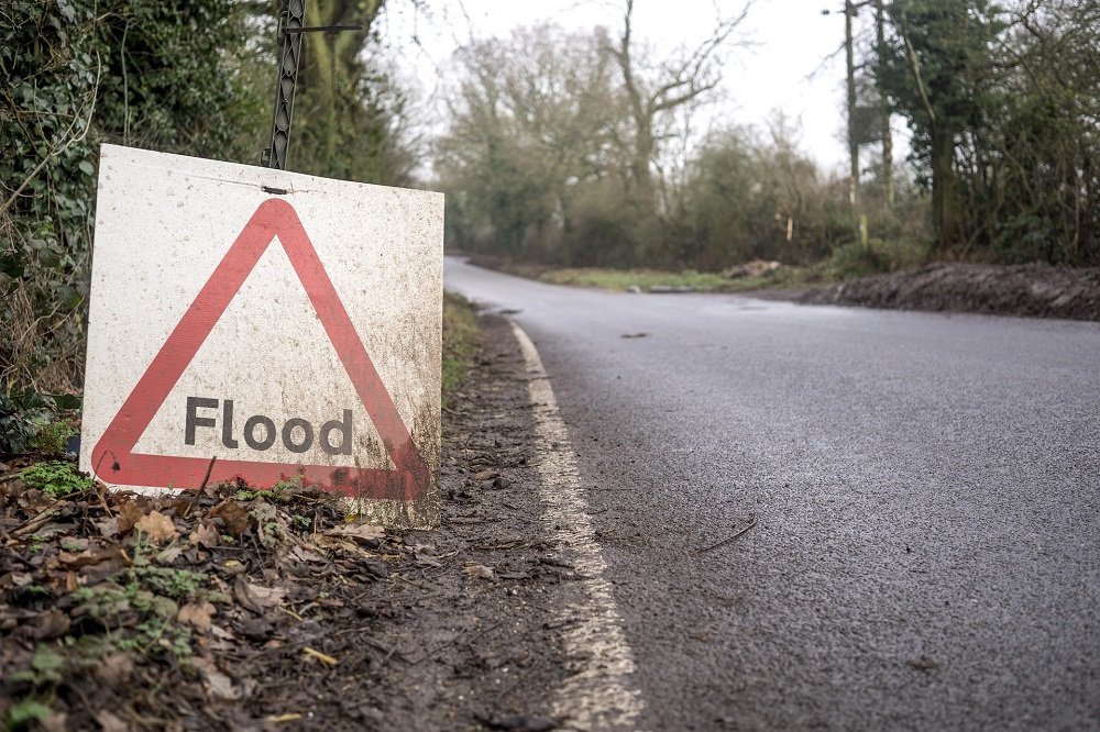
The SAWS alert specifically highlights the potential for localized flooding in low-lying areas, particularly informal settlements and areas with poor drainage infrastructure. Motorists are being urged to exercise extreme caution on the roads, as reduced visibility and slippery surfaces are expected to create treacherous driving conditions.
“The intensity of these storms is such that we are anticipating a high probability of flash flooding,” said a spokesperson for the Weather Service. “We are advising the public to avoid crossing flooded roads, bridges, and swollen streams. Even shallow, fast-moving water can be incredibly dangerous for vehicles and pedestrians alike.”
In addition to the risk of flooding, the weather service has warned of potential damage to infrastructure. Strong wind gusts could uproot trees, dislodge roof sheeting, and cause localized power outages by damaging electrical pylons and overhead lines. Residents are encouraged to secure loose outdoor items, such as garden furniture and trampolines, which could become projectiles in high-wind events.
Disaster management teams across the Free State have been placed on high alert. Provincial emergency services are coordinating with municipal authorities to ensure that response times are minimized should incidents occur. Shelters are being prepared in vulnerable districts, and search-and-rescue units have been mobilized in anticipation of potential distress calls.
Farmers in the region have also been advised to take necessary precautions to protect livestock and crops from large hail, which is a significant concern during this late-season storm cycle.
The weather system is expected to track eastward as the night progresses, with the most severe activity concentrated over the central and eastern parts of the province. While the storm is predicted to begin dissipating by tomorrow morning, authorities are reminding residents that the danger often persists even after the rain has stopped, particularly in areas where ground saturation remains high.
Residents are urged to stay tuned to local radio stations and monitor social media channels for real-time updates. If you find yourself in an emergency situation, contact your local emergency services or provincial disaster management center immediately. The public is asked to remain vigilant and avoid unnecessary travel until the weather front has cleared the province entirely.
Disclaimer: This content is auto-generated for informational purposes only.
Source: Read Original News


