








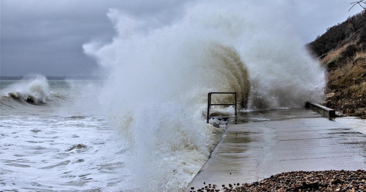
A flood alert has been issued for the Isle of Wight’s coastline for tomorrow, Monday, as a combination of high tides and strong winds threatens to impact low-lying areas.
The Environment Agency has confirmed that flooding is possible for one hour either side of the 10:30 am high tide. With the tide forecasted to reach 4.78 metres, officials are warning of very minor impact flooding expected across a range of seafront roads, esplanades, and coastal car parks.
The alert follows similar warnings issued on Saturday, indicating a period of heightened sensitivity along the coast. In addition to the tidal surge, the Island is expected to experience strong southerly winds reaching Force 5, which may exacerbate the impact of the rising water levels.
Specific areas identified as at-risk include the town of Cowes, where water is expected to reach high up the slipways. This will likely affect local infrastructure, including Medina Road and the access to the floating bridge. In East Cowes, the situation poses a different challenge; as the sea level rises, saltwater may be forced up through the drainage system. This backflow is expected to cause very minor impacts on the road surface at Albany Road.
While the morning high tide presents the primary concern, residents and commuters are advised that the situation will remain dynamic throughout the day. By the time the 11:00 pm evening tide arrives, forecasts suggest water levels will be approximately 16 centimetres lower than the morning peak.
Authorities are urging residents to take proactive measures to mitigate potential damage. Those living in vulnerable coastal areas are encouraged to consider activating any personal flood protection products they may have.
To assist with these preparations, Island Roads has confirmed that sandbag stores will be made accessible to the public. These supplies will be stationed at three key locations across the Island:
* Well Road, East Cowes
* Simeon Street Recreation Ground, Ryde
* St Mary’s Car Park, Cowes
Local agencies continue to monitor the weather patterns and tidal data closely. Residents are advised to stay informed through official government flood information services and to exercise caution when traveling near coastal roads and slipways during the predicted peak water periods tomorrow morning. While the impacts are currently categorized as “very minor,” the combination of high tide and strong winds warrants vigilance from those in low-lying coastal regions.
Disclaimer: This content is auto-generated for informational purposes only.
Source: Read Original News