








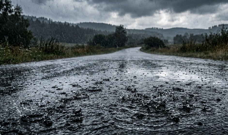
SEVERE WEATHER ALERT: Authorities Issue Urgent Warnings as Violent Storms Sweep Across the Region
Disaster management teams across the province have been placed on high alert this morning as the South African Weather Service (SAWS) issued an urgent warning for severe thunderstorms, expected to bring widespread disruption throughout the day. Residents are being urged to exercise extreme caution as a cold front collides with moisture-laden air, triggering conditions described by meteorologists as “highly volatile.”
The forecast confirms that the storms will be accompanied by heavy downpours, damaging winds, and significant lightning activity. Perhaps most concerning is the threat of localized flooding in low-lying urban areas and informal settlements, where drainage systems are expected to be overwhelmed by the sheer volume of rainfall in a short period. Furthermore, residents in the path of the storm have been warned of the possibility of large, destructive hail, which poses a significant risk to vehicles, roofs, and livestock.
“We are dealing with a potent weather system that has the potential to cause significant structural damage and pose a direct threat to public safety,” said a spokesperson for the regional disaster management unit. “Our teams are currently on standby to respond to any emergencies. We are specifically asking motorists to avoid low-water bridges and to stay off the roads if travel is not absolutely essential, as visibility will be extremely poor.”
The instability is expected to peak during the late afternoon and evening, traditionally the time when convective activity is most intense. Emergency services are advising citizens to secure loose outdoor objects that could become projectiles in high winds and to ensure that electrical appliances are disconnected to prevent damage from power surges caused by lightning strikes.
Communities situated along riverbanks and in areas with poor drainage are being urged to prepare for potential evacuation should water levels rise unexpectedly. Local municipalities have confirmed that additional personnel have been deployed to key intersections and high-risk zones to manage traffic flow and monitor rising water levels.
This weather event follows a week of unseasonably high temperatures, which meteorologists believe has acted as a catalyst for the intensity of these storms. While the atmospheric pressure is expected to stabilize by tomorrow morning, the current focus remains on safeguarding lives and property during the next twelve hours.
Residents are encouraged to monitor local radio broadcasts and official social media channels for real-time updates. If you find yourself caught in the storm, authorities advise finding sturdy shelter immediately—avoiding open fields, tall trees, and metallic structures. For emergency assistance, the public is urged to contact their local municipal disaster centers or the national emergency number, 112, only if they are in immediate distress.
Disclaimer: This content is auto-generated for informational purposes only.
Source: Read Original News